 Starachowice
 occupies a wooded valley along the Kamienna River in Poland’s Holy Cross Voivodeship. The town belongs to the historic Old Polish Industrial Region, where iron ore, forests and water power supported ironmaking for centuries. Its modern growth was closely tied to the Starachowice works, a major metallurgical complex whose preserved site includes a historic blast furnace. The Museum of Nature and Technology now interprets this industrial legacy and the production of Star lorries, a Polish marque long associated with the town. Residential streets and apartment districts extend through substantial tree cover, while the wider setting leads toward the Świętokrzyskie Mountains. Starachowice gives the region’s industrial past a tangible urban setting.
Generated by AI
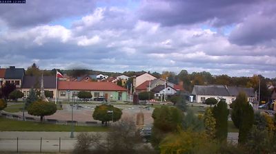
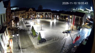
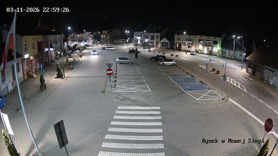
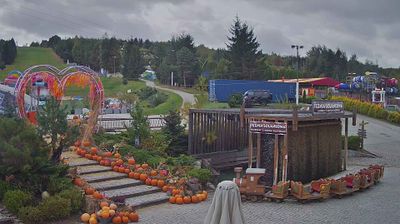
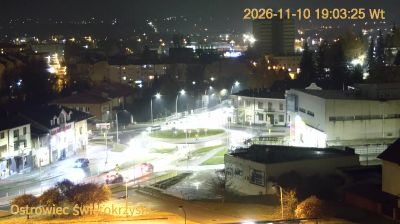

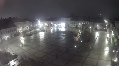

Among the cities of Poland’s Holy Cross Voivodeship, Starachowice stand out for the surviving industrial complex of their former ironworks. The town lies on the Kamienna River, near the northern edge of the Świętokrzyskie Mountains, an area long associated with iron ore and metalworking. The Museum of Nature and Technology occupies the old Starachowice works and preserves a monumental blast furnace, marking the city’s place in the region’s industrial heritage. Starachowice also grew around Wierzbnik, its historic district, whose name remains part of local geography. Forests and low hills surround the built-up river valley. Continue through nearby webcams to explore different parts of Starachowice and the Holy Cross region.
1 webcam
The terrain of Holy Cross Voivodeship ranges from the forested Świętokrzyskie Mountains in its north-central belt to the limestone hills and river valleys of the Nida Basin in the south, giving the region a compact but varied inland character. Łysica, at 614 metres, is the highest point of the Świętokrzyskie Mountains, while the Nida flows through a quieter agricultural district. Kielce, the voivodeship capital, is home to the 17th-century Palace of the Kraków Bishops. The Holy Cross monastery on Łysa Góra gave the region its name and remains a defining spiritual landmark. Continue with other webcams from the area to see how this part of south-central Poland connects regionally.
20 webcams
Poland stretches from the Baltic Sea coast in the north to the Carpathian Mountains along its southern frontier, encompassing broad lowlands, lake districts and upland ranges. The Vistula, the country’s longest river, links Kraków and Warsaw before reaching the Baltic near Gdańsk, while the Masurian Lake District is defined by a dense network of lakes. Kraków’s historic centre, including Wawel Castle, recalls Poland’s former royal capital; Warsaw’s rebuilt Old Town speaks to the city’s recovery after the Second World War. The Białowieża Forest preserves one of Europe’s last primeval lowland forests and is home to European bison. Follow how Poland’s regions relate to one another by browsing webcams across the country.
715 webcams