 Krajno Pierwsze
The landscape around Krajno Pierwsze is hilly and forested at the foot of the Świętokrzyskie Mountains, which has shaped both the built environment and local life. This small settlement lies close to Łysica, the highest summit in the range and a central feature of Świętokrzyski National Park. Its best-known attraction is Sabat Krajno, a family recreation complex combining a ski slope, amusement facilities and the Avenue of Miniatures. The open-air collection presents scaled models of well-known buildings from around the world, giving the rural setting an unexpected international theme. Krajno also belongs to the historic Holy Cross region, closely tied to the Benedictine monastery on Łysa Góra.
Generated by AI

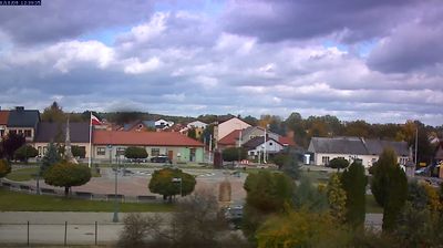
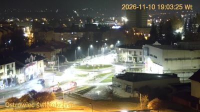
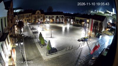

Tucked into the northern foothills of the Świętokrzyskie Mountains, Krajno Pierwsze is a settlement whose character is shaped by rolling upland terrain beneath the Łysogóry range. The wider Krajno area lies close to Świętokrzyski National Park, where forested slopes and the region’s distinctive quartzite screes mark the higher ground. Nearby Krajno-Zagórze is home to Sabat Krajno, a recreation park known for its avenue of miniature models representing landmark buildings from around the world. Browse related webcams in the surrounding area to build a fuller picture of the Świętokrzyskie Mountains.
1 webcam
The terrain of Holy Cross Voivodeship ranges from the forested Świętokrzyskie Mountains in its north-central belt to the limestone hills and river valleys of the Nida Basin in the south, giving the region a compact but varied inland character. Łysica, at 614 metres, is the highest point of the Świętokrzyskie Mountains, while the Nida flows through a quieter agricultural district. Kielce, the voivodeship capital, is home to the 17th-century Palace of the Kraków Bishops. The Holy Cross monastery on Łysa Góra gave the region its name and remains a defining spiritual landmark. Continue with other webcams from the area to see how this part of south-central Poland connects regionally.
20 webcams
Poland stretches from the Baltic Sea coast in the north to the Carpathian Mountains along its southern frontier, encompassing broad lowlands, lake districts and upland ranges. The Vistula, the country’s longest river, links Kraków and Warsaw before reaching the Baltic near Gdańsk, while the Masurian Lake District is defined by a dense network of lakes. Kraków’s historic centre, including Wawel Castle, recalls Poland’s former royal capital; Warsaw’s rebuilt Old Town speaks to the city’s recovery after the Second World War. The Białowieża Forest preserves one of Europe’s last primeval lowland forests and is home to European bison. Follow how Poland’s regions relate to one another by browsing webcams across the country.
717 webcams