 Maslow Pierwszy
Masłów Pierwszy lies along the northern foothills of the Świętokrzyskie Mountains, where open airfield ground meets low wooded ridges near Kielce. This rural locality in the Holy Cross Voivodeship is closely connected with the regional capital, while retaining a distinctly upland setting of fields, scattered homes and forest. Kielce-Masłów Airport, designated EPKA, gives the area its aviation character: its runways and apron serve light aircraft and local aeroclub activity rather than scheduled commercial traffic. The surrounding terrain marks the transition from the Kielce urban area to the historic mountain country of central Poland, whose wider landscape includes Świętokrzyski National Park and the Łysogóry range.
Generated by AI
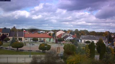

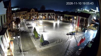

Set along the northern outskirts of Kielce, Masłów Pierwszy is a place whose character is shaped by the nearby Świętokrzyskie Mountains. It is the administrative seat of Gmina Masłów, where open countryside and low upland ridges mark the transition beyond the regional capital. Kielce-Masłów Airport, used by the Kielce Aero Club, gives the locality a recognised connection with gliding and recreational aviation. Masłów also belongs to the wider cultural landscape of the Świętokrzyskie region, home to the historic Benedictine monastery at Święty Krzyż. Browse other webcams across Holy Cross Voivodeship to place this setting in a wider geographic context.
2 webcams
The terrain of Holy Cross Voivodeship ranges from the forested Świętokrzyskie Mountains in its north-central belt to the limestone hills and river valleys of the Nida Basin in the south, giving the region a compact but varied inland character. Łysica, at 614 metres, is the highest point of the Świętokrzyskie Mountains, while the Nida flows through a quieter agricultural district. Kielce, the voivodeship capital, is home to the 17th-century Palace of the Kraków Bishops. The Holy Cross monastery on Łysa Góra gave the region its name and remains a defining spiritual landmark. Continue with other webcams from the area to see how this part of south-central Poland connects regionally.
20 webcams
Poland stretches from the Baltic Sea coast in the north to the Carpathian Mountains along its southern frontier, encompassing broad lowlands, lake districts and upland ranges. The Vistula, the country’s longest river, links Kraków and Warsaw before reaching the Baltic near Gdańsk, while the Masurian Lake District is defined by a dense network of lakes. Kraków’s historic centre, including Wawel Castle, recalls Poland’s former royal capital; Warsaw’s rebuilt Old Town speaks to the city’s recovery after the Second World War. The Białowieża Forest preserves one of Europe’s last primeval lowland forests and is home to European bison. Follow how Poland’s regions relate to one another by browsing webcams across the country.
714 webcams