 San Andrés Osuna
Built around the cultivated lowlands of Escuintla, San Andrés Osuna grew into a rural locality on the southern foothills of Volcán de Fuego. This part of Guatemala lies in an agricultural belt where sugar cane is a major crop, while wooded volcanic channels cross the plain. Fuego is an active stratovolcano of Guatemala’s volcanic chain, and its extensive slopes shape the transition from Pacific-facing lowlands to the higher interior. The terrain reflects the close relationship between plantation agriculture, tropical vegetation and deposits carried down from the volcano. Cane cultivation is a long-established part of Escuintla’s economy, giving these working landscapes a role beyond their immediate fields. San Andrés Osuna is defined less by urban density than by a productive plain formed beneath an active Central American volcano.
Generated by AI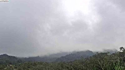
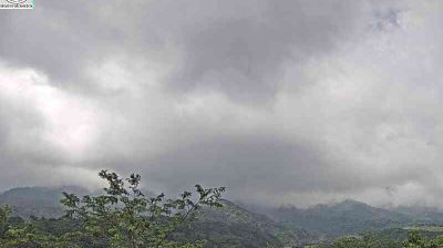
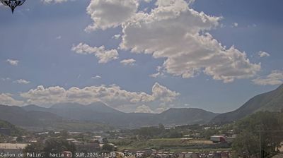
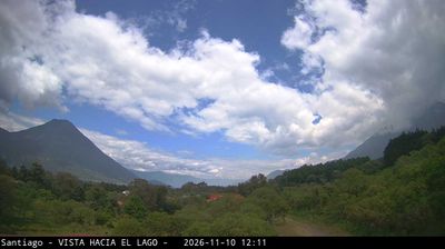

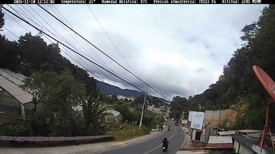
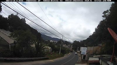
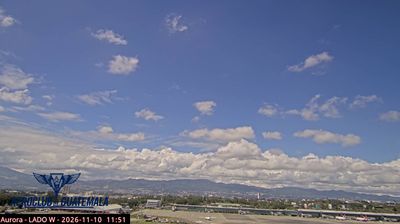

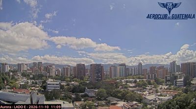

San Andrés Osuna occupies Guatemala’s Pacific piedmont in the Escuintla Department, where the volcanic highlands descend toward the Pacific coastal plain. It lies in a warm agricultural region shaped by extensive sugar-cane cultivation and by road connections between inland Guatemala and the coast. Escuintla is also home to the Cotzumalhuapa archaeological zone; the El Baúl site is known for its carved stone monuments from the Classic period. San Andrés Osuna reflects the transition between volcanic slopes and tropical lowlands that defines much of this part of the country. Move on to other webcams in Escuintla to compare landscapes and settings around Guatemala’s Pacific piedmont.
2 webcams
Escuintla extends from Guatemala’s Pacific coast to the foothills of the Sierra Madre, encompassing humid tropical plains and volcanic uplands. The warm lowlands are an important sugar-cane-growing area, while the Achiguate River crosses the department on its course toward the Pacific Ocean. Puerto Quetzal, near the coast, is one of Guatemala’s principal seaports and connects this agricultural region with international trade. Near Santa Lucía Cotzumalguapa, the archaeological sites of El Baúl and Bilbao preserve imposing stone sculpture linked to the pre-Hispanic Cotzumalhuapa culture. Discover other points of interest through webcams located across Escuintla.
5 webcams
Guatemala has served as a crossroads between Mesoamerica’s Pacific and Caribbean corridors since pre-Columbian times. The country brings together the volcanic chain of the Sierra Madre, the broad Pacific lowlands and the forested Petén, where Tikal preserves the temples of one of the great Maya cities. Lake Atitlán lies in the western highlands, encircled by volcanoes and communities where Maya languages and textile traditions remain part of everyday life. In Antigua Guatemala, colonial churches and convents stand amid streets laid out under Spanish rule; the city is a UNESCO World Heritage site. Coffee growing is also central to many highland regions. Find related webcams in the surrounding area to build a fuller picture of Guatemala’s highlands, volcanoes and Maya heartland.
26 webcams