 Alotenango
Among the communities of Sacatepéquez, Alotenango stands out for its position on the slopes of Volcán de Fuego, one of Central America’s most active volcanoes. The municipality lies south of Antigua Guatemala, in a highland zone where cultivated land and forest meet volcanic terrain. Fuego forms part of a volcanic complex with neighbouring Acatenango, creating a dominant relief feature above the surrounding valleys. Historical records of Fuego’s eruptions extend back to 1524, underlining the long relationship between nearby settlements and an active landscape. Alotenango also reflects the agricultural character of Guatemala’s central highlands, where farms and rural communities occupy the lower slopes. It is working countryside shaped by volcanism rather than a resort enclave.
Generated by AI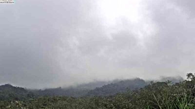
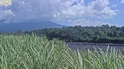
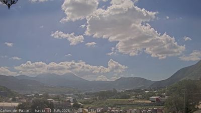

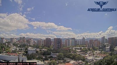
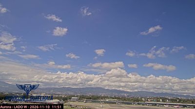
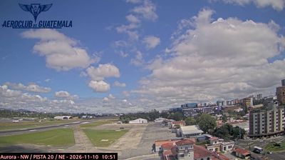
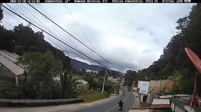
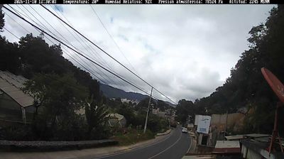
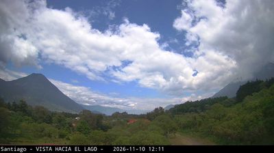

Alotenango sits beneath Volcán de Fuego in Guatemala’s Sacatepéquez Department, where cultivated fields meet the volcanic highlands south of Antigua Guatemala. Fuego is among the country’s most active volcanoes, and its persistent activity has made volcanic risk a defining fact of life for nearby communities. Alotenango is a predominantly agricultural town, with coffee, maize and bean cultivation rooted in the fertile soils of the surrounding slopes. The municipality’s formal name, San Juan Alotenango, reflects Catholic patronage that remains visible in local civic and religious celebrations. Continue with other webcams from the area to see how this part of Sacatepéquez connects regionally.
1 webcam
Sacatepéquez occupies a volcanic upland district in Guatemala’s central highlands. Its best-known centre is Antigua Guatemala, the former colonial capital whose grid of cobbled streets, churches and convents has earned UNESCO World Heritage status. Volcán de Agua rises prominently to the south, while the nearby volcanoes Fuego and Acatenango underscore the region’s active geological setting. Coffee cultivation remains important on the fertile slopes, and local markets connect rural traditions with the city’s international character. Explore nearby webcam locations that provide complementary perspectives on Sacatepéquez’s volcano-ringed highlands.
1 webcam
Guatemala has served as a crossroads between Mesoamerica’s Pacific and Caribbean corridors since pre-Columbian times. The country brings together the volcanic chain of the Sierra Madre, the broad Pacific lowlands and the forested Petén, where Tikal preserves the temples of one of the great Maya cities. Lake Atitlán lies in the western highlands, encircled by volcanoes and communities where Maya languages and textile traditions remain part of everyday life. In Antigua Guatemala, colonial churches and convents stand amid streets laid out under Spanish rule; the city is a UNESCO World Heritage site. Coffee growing is also central to many highland regions. Find related webcams in the surrounding area to build a fuller picture of Guatemala’s highlands, volcanoes and Maya heartland.
26 webcams