 Santa Catarina Pinula
Tucked into the Guatemalan Highlands, Santa Catarina Pinula is a place whose character is shaped by the rising, built-up terrain southeast of Guatemala City. Its streets and neighbourhoods form part of the capital’s wider metropolitan area, where development climbs away from the central basin. La Aurora International Airport lies nearby and is Guatemala’s principal international aviation hub, connecting the capital with regional and long-haul routes. The airport district in Guatemala City’s Zone 13 also includes La Aurora Zoo and the National Museum of Archaeology and Ethnology, whose collections trace the country’s pre-Hispanic cultures. Santa Catarina Pinula retains its own municipal identity within this fast-growing highland urban region.
Generated by AI
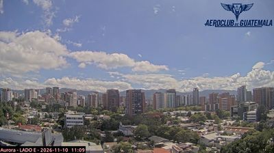
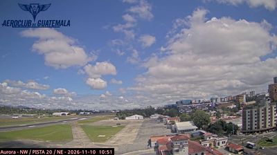
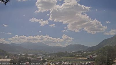

Santa Catarina Pinula sits in Guatemala’s central highlands, within the Department of Guatemala, where steep slopes form the southeastern edge of the Guatemala City metropolitan area. Closely linked to the capital, it nevertheless retains its own municipal centre and a more rural highland character beyond the main urban corridors. Its name honours Saint Catherine of Alexandria, reflecting Catholic place-naming traditions from the colonial period. Roads connect the town with Guatemala City’s commercial districts while serving neighbourhoods and agricultural land on the surrounding hillsides. The meeting of metropolitan growth and upland settlement shapes its present-day identity. Browse additional webcams nearby to see how Santa Catarina Pinula relates to the surrounding Guatemalan highlands.
4 webcams
Built around the new colonial capital of Nueva Guatemala de la Asunción after the 1773 earthquakes devastated Antigua Guatemala, Guatemala City grew into the country’s political, commercial and cultural centre. Set in the Valle de la Ermita in the central highlands, it extends across terrain carved by deep ravines, with Lake Amatitlán to the south. Constitution Square remains the civic heart, framed by the Metropolitan Cathedral and the National Palace of Culture. Markets, museums and busy streets reflect a capital where Maya traditions meet contemporary urban life. Find related webcams in the surrounding area to build a fuller picture of Guatemala City and its highland setting.
4 webcams
Guatemala has served as a crossroads between Mesoamerica’s Pacific and Caribbean corridors since pre-Columbian times. The country brings together the volcanic chain of the Sierra Madre, the broad Pacific lowlands and the forested Petén, where Tikal preserves the temples of one of the great Maya cities. Lake Atitlán lies in the western highlands, encircled by volcanoes and communities where Maya languages and textile traditions remain part of everyday life. In Antigua Guatemala, colonial churches and convents stand amid streets laid out under Spanish rule; the city is a UNESCO World Heritage site. Coffee growing is also central to many highland regions. Find related webcams in the surrounding area to build a fuller picture of Guatemala’s highlands, volcanoes and Maya heartland.
26 webcams