 Panabaj
Few places in Sololá have a history as closely tied to the Tz'utujil Maya people as Panabaj. This rural settlement lies close to Santiago Atitlán on the southern side of Lake Atitlán, within a basin ringed by volcanic highlands. Tz'utujil is one of Guatemala’s Maya languages, and Santiago Atitlán remains an important centre of Tz'utujil life, known for its weaving and for the veneration of Maximón, a locally distinctive religious figure. Panabaj was severely affected by mudslides triggered by Hurricane Stan in 2005, underscoring the vulnerability of communities on the lake’s steep volcanic terrain. Lake Atitlán, formed in a volcanic caldera, continues to shape settlement, agriculture and travel across this part of the Guatemalan highlands.
Generated by AI
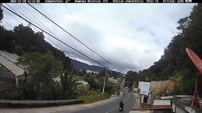
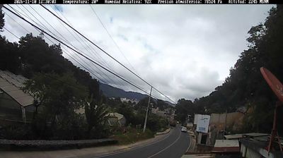
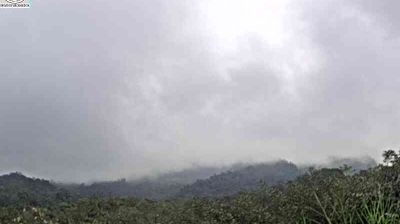
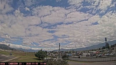
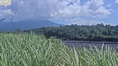

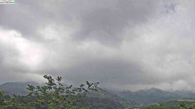


Few communities in Sololá have a history as closely tied to the 2005 Hurricane Stan mudslides as Panabaj. The settlement lies near Santiago Atitlán on the southern shore of Lake Atitlán, below the slopes of Volcán Atitlán. Panabaj is part of a predominantly Tz’utujil Maya area, where the Tz’utujil language and enduring local traditions remain central to community life. Across the lake, the volcanic outlines of Tolimán and San Pedro define one of Guatemala’s most recognisable highland settings. Browse additional webcams from the surrounding area to extend your view of Lake Atitlán.
1 webcam
The terrain of Sololá ranges from the volcanic shores of Lake Atitlán in the south to cool, elevated highlands in the north, creating marked differences in climate and settlement. Lake Atitlán, watched over by the Atitlán, Tolimán and San Pedro volcanoes, is the department’s defining feature; Panajachel, Santiago Atitlán and San Juan La Laguna stand along its shore. Sololá belongs to Guatemala’s Maya highlands, where Kaqchikel and Tz’utujil communities sustain Indigenous languages, textile traditions and market trade. The town of Sololá is the departmental capital and is known for its market and traditional Maya dress. Browse additional webcams from around Lake Atitlán to extend your view of Sololá.
2 webcams
Guatemala has served as a crossroads between Mesoamerica’s Pacific and Caribbean corridors since pre-Columbian times. The country brings together the volcanic chain of the Sierra Madre, the broad Pacific lowlands and the forested Petén, where Tikal preserves the temples of one of the great Maya cities. Lake Atitlán lies in the western highlands, encircled by volcanoes and communities where Maya languages and textile traditions remain part of everyday life. In Antigua Guatemala, colonial churches and convents stand amid streets laid out under Spanish rule; the city is a UNESCO World Heritage site. Coffee growing is also central to many highland regions. Find related webcams in the surrounding area to build a fuller picture of Guatemala’s highlands, volcanoes and Maya heartland.
26 webcams