 Quetzaltenango
 sits in a highland basin in western Guatemala, where the city meets cultivated fields beneath the volcanic Sierra Madre. Often called Xela, it is one of Guatemala’s principal urban centres outside the capital and an important commercial, educational and transport hub for the western highlands. Santa María Volcano rises south of the city; its 1902 eruption was among the largest of the 20th century, and the Santiaguito volcanic complex developed on its flank. In the centre, Parque Centro América is framed by civic buildings including the neoclassical Municipal Theatre. Quetzaltenango was the capital of the short-lived State of Los Altos from 1838 to 1840, a role that still informs its regional identity.
Generated by AI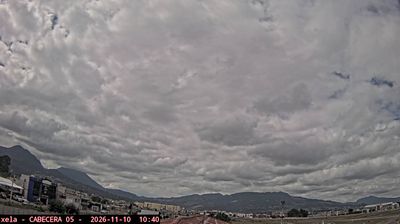


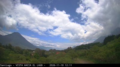

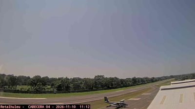


The landscape around Quetzaltenango is a cool, high-altitude basin enclosed by volcanic highlands, which has shaped both the city’s compact form and its role as a commercial centre for western Guatemala. Often called Xela, the city sits near Santa María Volcano, whose 1902 eruption was among the largest of the twentieth century. Around Parque Centro América, civic buildings and the Catedral del Espíritu Santo reflect Quetzaltenango’s importance as a regional centre. K’iche’ Maya culture remains a living part of the city’s identity, alongside Spanish-language schools and markets serving the surrounding highlands. Browse other webcams across Quetzaltenango and western Guatemala to place this highland setting in a wider geographic context.
2 webcams
Quetzaltenango has served as a cultural crossroads within Guatemala since the colonial era. Known locally as Xela, this western-highland city lies in a basin framed by the Sierra Madre and the Santa María volcano, whose 1902 eruption was among the largest of the twentieth century. K’iche’ Maya heritage remains central to local life, heard in language and reflected in market traditions, while Parque Centro América and the Catedral del Espíritu Santo anchor the historic centre. Quetzaltenango is also a major destination for Spanish study and a base for exploring highland towns, thermal springs and mountain routes. Explore nearby webcam locations that provide complementary perspectives on Quetzaltenango.
2 webcams
Guatemala has served as a crossroads between Mesoamerica’s Pacific and Caribbean corridors since pre-Columbian times. The country brings together the volcanic chain of the Sierra Madre, the broad Pacific lowlands and the forested Petén, where Tikal preserves the temples of one of the great Maya cities. Lake Atitlán lies in the western highlands, encircled by volcanoes and communities where Maya languages and textile traditions remain part of everyday life. In Antigua Guatemala, colonial churches and convents stand amid streets laid out under Spanish rule; the city is a UNESCO World Heritage site. Coffee growing is also central to many highland regions. Find related webcams in the surrounding area to build a fuller picture of Guatemala’s highlands, volcanoes and Maya heartland.
26 webcams