 Tecpán: Tecpan
Tucked into the Sierra Madre highlands of Chimaltenango, Tecpán Guatemala is a place whose character is shaped by its elevated terrain and position on the Pan-American Highway. The town stands in Guatemala’s western highlands, where settled ridges and cultivated land meet pine-covered slopes. Its name is closely associated with Iximché, the nearby archaeological site that was the capital of the Kaqchikel Maya kingdom. In 1524, the Spanish established their first Guatemalan capital at Iximché, then known as Tecpán Guatemala. Today, Tecpán is a practical regional centre, with roadside commerce and local transport linking communities across Chimaltenango and toward the rest of the country.
Generated by AI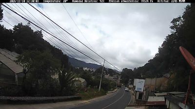
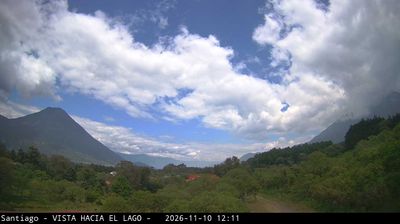

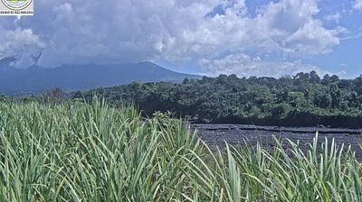

Tecpán Guatemala combines the bustle of a highland market town with the continuity of Kaqchikel tradition in a way that reflects its position in the Sierra Madre uplands of Chimaltenango. The town lies on the Inter-American Highway, a principal route linking Guatemala City with the western highlands. Nearby Iximché was the capital of the Kaqchikel Maya kingdom before the Spanish conquest; in 1524 it briefly served as Guatemala’s first Spanish colonial capital. This setting gives Tecpán a practical, lived-in character while placing one of the country’s key Maya archaeological sites close at hand. Browse additional webcams from the Chimaltenango highlands to extend your view of Guatemala’s western uplands.
2 webcams
Chimaltenango occupies a highland corridor in central Guatemala. Its uplands lie west of Guatemala City, where cultivated fields, pine-covered slopes and volcanic terrain give the department a markedly different character from the Pacific lowlands. The Madre Vieja River begins in these highlands before running southwest toward the Pacific. Near Tecpán Guatemala, the Maya site of Iximché was the capital of the Kaqchikel kingdom; in 1524 it also briefly served as Guatemala’s first Spanish colonial capital. Kaqchikel communities, roadside food traditions and market towns remain central to the area’s identity. Continue with other webcams from Chimaltenango to see how this part of Guatemala’s central highlands connects regionally.
2 webcams
Guatemala has served as a crossroads between Mesoamerica’s Pacific and Caribbean corridors since pre-Columbian times. The country brings together the volcanic chain of the Sierra Madre, the broad Pacific lowlands and the forested Petén, where Tikal preserves the temples of one of the great Maya cities. Lake Atitlán lies in the western highlands, encircled by volcanoes and communities where Maya languages and textile traditions remain part of everyday life. In Antigua Guatemala, colonial churches and convents stand amid streets laid out under Spanish rule; the city is a UNESCO World Heritage site. Coffee growing is also central to many highland regions. Find related webcams in the surrounding area to build a fuller picture of Guatemala’s highlands, volcanoes and Maya heartland.
26 webcams