Chimaltenango
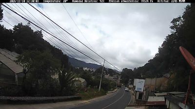
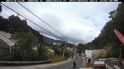
Chimaltenango occupies a highland corridor in central Guatemala. Its uplands lie west of Guatemala City, where cultivated fields, pine-covered slopes and volcanic terrain give the department a markedly different character from the Pacific lowlands. The Madre Vieja River begins in these highlands before running southwest toward the Pacific. Near Tecpán Guatemala, the Maya site of Iximché was the capital of the Kaqchikel kingdom; in 1524 it also briefly served as Guatemala’s first Spanish colonial capital. Kaqchikel communities, roadside food traditions and market towns remain central to the area’s identity. Continue with other webcams from Chimaltenango to see how this part of Guatemala’s central highlands connects regionally. Generated by AI


Featured webcams
Popular webcams
Recently added webcams
Explore cities and regions of Chimaltenango
Chimaltenango
2 webcams 1 city