 Castletown: Castletown Lighthouse
Castletown Lighthouse lies along the shore of Castletown Bay on the Irish Sea, where a working harbour and low rocky coastline meet the broad southern plain of the Isle of Man. The light marks the harbour entrance in Castletown, one of the island’s oldest towns and its capital until 1869. At the town’s centre stands Castle Rushen, a well-preserved medieval fortress that served the Kings and Lords of Mann and now houses a Manx National Heritage museum. Fishing and pleasure boats underline Castletown’s continuing connection with the sea, while narrow streets, stone buildings and the old market area retain the scale of a historic port.
Generated by AI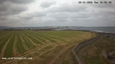
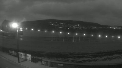
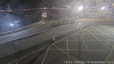

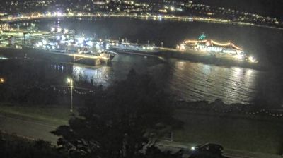
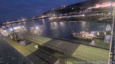
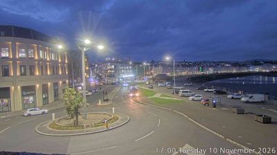
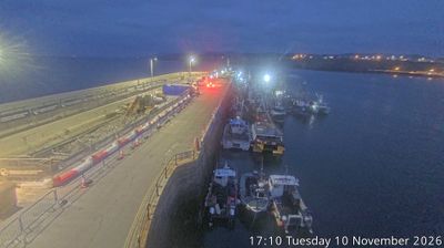
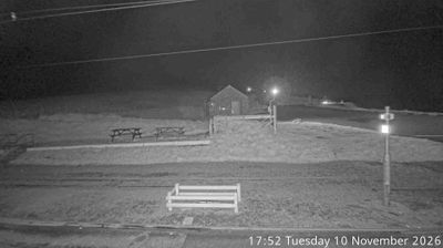

Castletown lies along the Silverburn River beside Castletown Bay, where a compact historic centre meets the low southern coast of the Isle of Man. It served as the island’s capital until 1869, a role still apparent in Castle Rushen, the fortified complex that dominates the former market square. The Old House of Keys preserves the chamber used by the Manx parliament’s elected branch from 1821 to 1874. Quays, harbour activity and streets of stone-built buildings give the town a maritime, civic character distinct from Douglas. Explore additional webcams nearby to understand how Castletown and southern Man relate to the bay and the Isle of Man’s coastal setting.
1 webcam
Rushen occupies the southern part of the Isle of Man in the Irish Sea. This historic parish combines open farmland with a rugged shoreline, where the Calf Sound separates the main island from the Calf of Man. Its southern setting gives the area a distinctly maritime character, shaped by exposed headlands and weather moving in from the sea. At Cregneash, Manx National Heritage maintains a folk village documenting the island’s rural life through traditional buildings and working crofts. Rushen is also close to Port Erin and Port St Mary, two long-established coastal communities. Browse other webcams across the Isle of Man to place Rushen’s southern coast in a wider geographic context.
4 webcams
The Isle of Man stretches from the low-lying northern plain to the rugged southern coast, encompassing hills, farmland and Irish Sea shorelines. Set in the centre of the Irish Sea between Great Britain and Ireland, it has a distinct identity as a self-governing Crown Dependency. Snaefell, at 621 metres, is its highest summit. Coastal Peel is marked by Peel Castle, while Tynwald Hill at St John’s hosts the annual open-air ceremony of the island’s parliament, Tynwald. The Isle of Man TT brings motorcycle racing to public roads closed for the event each year. Continue through nearby webcams to explore different parts of the Isle of Man.
13 webcams