 Port Erin
 is best known within the Isle of Man for its sheltered sandy bay. Set on the Irish Sea at the island’s southern end, it is shaped around a curved shore, a small harbour and the headlands of Bradda Head and Mull Hill. The settlement is the southern terminus of the Isle of Man Railway, a heritage line running north to Douglas; its station has long made Port Erin a focal point for travel around the island. Boats, quays and a seafront sit beside residential streets, while coastal paths continue across cliffs and open heathland. Port Erin retains the scale of a resort village while remaining closely connected to the island’s maritime and railway traditions.
Generated by AI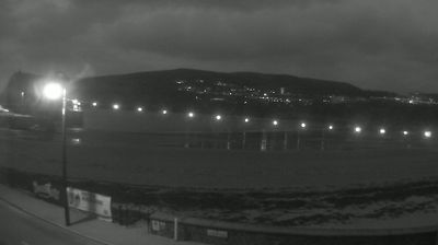
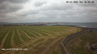

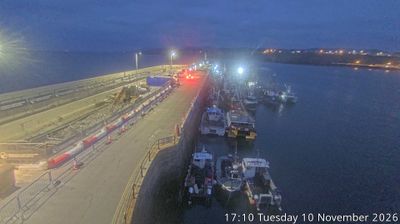

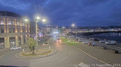
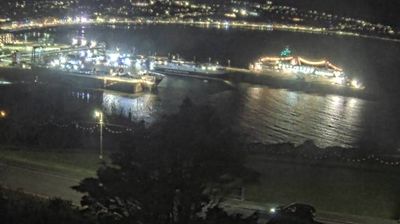
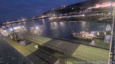

Port Erin Bay defines the setting of Port Erin — its sheltered sandy curve, enclosed by headlands on the Isle of Man’s southwest coast, keeps the town closely tied to the sea. Bradda Head rises above the northern side of the bay, topped by Milner’s Tower, a 19th-century memorial to the philanthropist William Milner. Port Erin is also the southern terminus of the Isle of Man Railway, whose heritage trains connect it with Douglas and preserve an important part of the island’s transport tradition. Coastal paths lead out towards the cliffs, while the compact centre remains focused on the waterfront. Browse additional webcams from the Isle of Man’s southern coast to extend your view of Rushen.
2 webcams
Rushen occupies the southern part of the Isle of Man in the Irish Sea. This historic parish combines open farmland with a rugged shoreline, where the Calf Sound separates the main island from the Calf of Man. Its southern setting gives the area a distinctly maritime character, shaped by exposed headlands and weather moving in from the sea. At Cregneash, Manx National Heritage maintains a folk village documenting the island’s rural life through traditional buildings and working crofts. Rushen is also close to Port Erin and Port St Mary, two long-established coastal communities. Browse other webcams across the Isle of Man to place Rushen’s southern coast in a wider geographic context.
4 webcams
The Isle of Man stretches from the low-lying northern plain to the rugged southern coast, encompassing hills, farmland and Irish Sea shorelines. Set in the centre of the Irish Sea between Great Britain and Ireland, it has a distinct identity as a self-governing Crown Dependency. Snaefell, at 621 metres, is its highest summit. Coastal Peel is marked by Peel Castle, while Tynwald Hill at St John’s hosts the annual open-air ceremony of the island’s parliament, Tynwald. The Isle of Man TT brings motorcycle racing to public roads closed for the event each year. Continue through nearby webcams to explore different parts of the Isle of Man.
13 webcams