 Laxey: Bungalow Station, A18 North
Tucked into the uplands beneath Snaefell, the Bungalow above Laxey is a place whose character is shaped by open moorland and a historic electric railway. This halt on the Snaefell Mountain Railway stands beside the A18, the road that forms part of the Isle of Man TT Course. The railway opened in 1895 and runs from Laxey to the island’s highest summit, Snaefell. From here, the line continues north towards the summit while the A18 crosses the central uplands. First held in 1907, the TT remains central to the island’s sporting identity. Stone structures, rail tracks and heath give the area a distinctly Manx transport heritage.
Generated by AI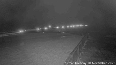

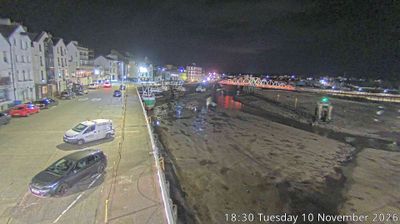
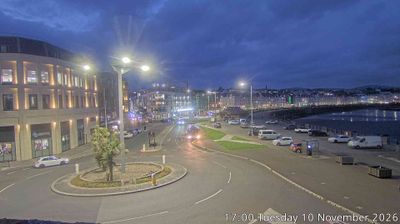

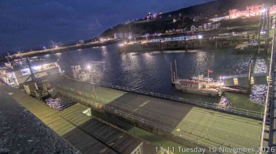


Laxey lies along the Laxey River, where a steep, wooded valley reaches the Irish Sea on the Isle of Man’s east coast. The village grew around lead mining, and its defining monument is the Great Laxey Wheel, built in 1854 to pump water from the Great Laxey Mine; at 72 feet, it is widely regarded as the world’s largest working waterwheel. Laxey is also a junction on the island’s heritage rail network: the Manx Electric Railway runs along the coast, while the Snaefell Mountain Railway climbs from here toward the island’s highest summit. Stone cottages, the narrow valley and the open shore give this Garff settlement a distinctly Manx setting. Move on to other webcams in Garff to compare coastal and upland settings around Laxey.
1 webcam
Garff has served as an administrative district within the Isle of Man since the Middle Ages. On the island’s east coast, this area extends from the settled Laxey valley towards the headland and parish of Maughold, with the Irish Sea defining its seaward edge. Laxey is home to the Great Laxey Wheel, built in 1854 to drain the mine; it remains a powerful reminder of the island’s mining era. The Manx Electric Railway links the community with Douglas and Ramsey, while rural lanes and coastal paths lead through a quieter, largely agricultural part of Man. Its position between coast, upland and historic settlements gives Garff a distinct northeast character. Trace Garff’s place in the Isle of Man by browsing webcams nearby.
2 webcams
The Isle of Man stretches from the low-lying northern plain to the rugged southern coast, encompassing hills, farmland and Irish Sea shorelines. Set in the centre of the Irish Sea between Great Britain and Ireland, it has a distinct identity as a self-governing Crown Dependency. Snaefell, at 621 metres, is its highest summit. Coastal Peel is marked by Peel Castle, while Tynwald Hill at St John’s hosts the annual open-air ceremony of the island’s parliament, Tynwald. The Isle of Man TT brings motorcycle racing to public roads closed for the event each year. Continue through nearby webcams to explore different parts of the Isle of Man.
13 webcams