 Malew
Scarlett Point combines exposed limestone cliffs with cultivated fields in a way that reflects its position on the Irish Sea coast of southern Isle of Man. This headland in the parish of Malew is valued for rock exposures that record the island’s Carboniferous past, making it a noted geology stop. Low stone boundaries divide the surrounding farmland, while the shore is shaped by wave-cut rock ledges and small coves. The point lies close to Castletown, the island’s former capital, where Castle Rushen stands as a medieval fortress. Together, the open fields and hard coastal edge give this corner of Rushen a distinctly southern Manx character.
Generated by AI
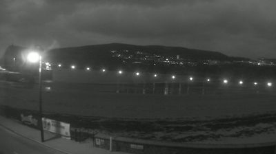
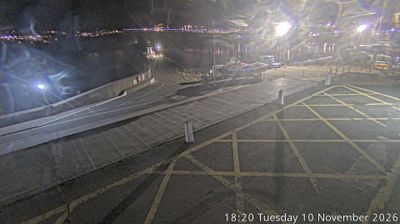

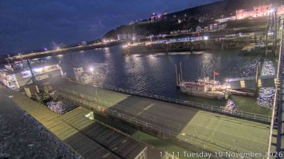
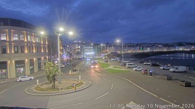
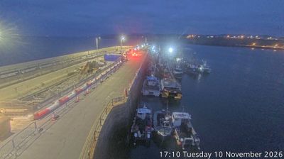


Malew occupies low ground around the lower River Silverburn valley in Rushen, at the southern end of the Isle of Man. The parish adjoins Castletown and reaches toward the Irish Sea, with farmland and small settlements alongside the transport links of Ronaldsway, home to the island’s airport. At Ballasalla, Rushen Abbey preserves the remains of a medieval Cistercian community and later estate buildings. Ronaldsway is also an important archaeological site: excavations here identified a Late Neolithic culture that bears its name. Browse other webcams across the Isle of Man to place this southern setting in a wider geographic context.
1 webcam
Rushen occupies the southern part of the Isle of Man in the Irish Sea. This historic parish combines open farmland with a rugged shoreline, where the Calf Sound separates the main island from the Calf of Man. Its southern setting gives the area a distinctly maritime character, shaped by exposed headlands and weather moving in from the sea. At Cregneash, Manx National Heritage maintains a folk village documenting the island’s rural life through traditional buildings and working crofts. Rushen is also close to Port Erin and Port St Mary, two long-established coastal communities. Browse other webcams across the Isle of Man to place Rushen’s southern coast in a wider geographic context.
4 webcams
The Isle of Man stretches from the low-lying northern plain to the rugged southern coast, encompassing hills, farmland and Irish Sea shorelines. Set in the centre of the Irish Sea between Great Britain and Ireland, it has a distinct identity as a self-governing Crown Dependency. Snaefell, at 621 metres, is its highest summit. Coastal Peel is marked by Peel Castle, while Tynwald Hill at St John’s hosts the annual open-air ceremony of the island’s parliament, Tynwald. The Isle of Man TT brings motorcycle racing to public roads closed for the event each year. Continue through nearby webcams to explore different parts of the Isle of Man.
12 webcams