Upravna Enota Litija
Upravna Enota Litija combines the working character of the Sava valley with quieter wooded hills in a way that reflects its position between Ljubljana and the Zasavje region of central Slovenia. The Sava, Slovenia’s longest river, is the area’s defining corridor, followed by railway and road links through the narrow valley at Litija. Above the town, the former Sitarjevec Mine recalls a long local mining tradition. Near Vače, the Geometric Centre of Slovenia, known as GEOSS, marks a symbolic focal point of the country, while the celebrated Vače situla testifies to Iron Age life. Continue through nearby webcams to explore different parts of Upravna Enota Litija. Generated by AI

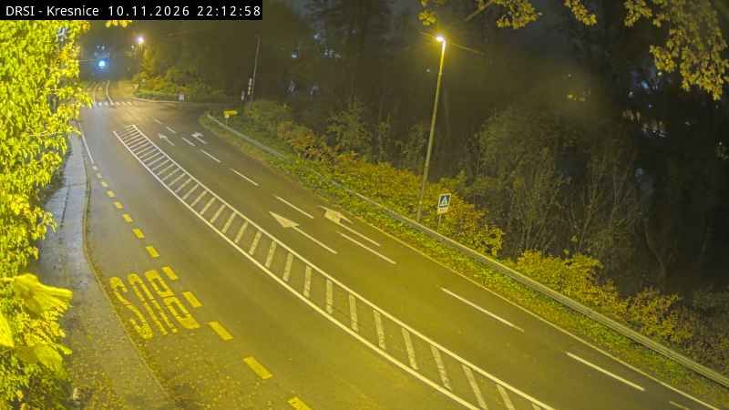
Featured webcams
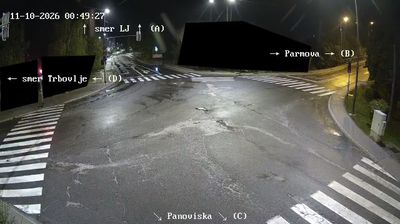


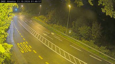
Popular webcams
Recently added webcams
Explore cities and regions of Upravna Enota Litija
Upravna Enota Litija
5 webcams 2 cities