 Litija: Most Litija - Ponoviška cesta - Ljubljanska cesta - Parmova ulica
Litija occupies a narrow section of the Sava Valley in central Slovenia. The town is organized around the Sava, its railway corridor and the roads running along the valley, making it an everyday service centre for nearby settlements. Ljubljanska cesta forms one of the principal approaches through town, while Most Litija carries traffic across the river; Parmova ulica and Ponoviška cesta meet this central street network. Low wooded hills rise close to the built-up valley floor, giving Litija a compact form. The wider area is closely associated with the Vače situla, an Iron Age bronze vessel found at nearby Vače and one of Slovenia’s leading archaeological objects.
Generated by AI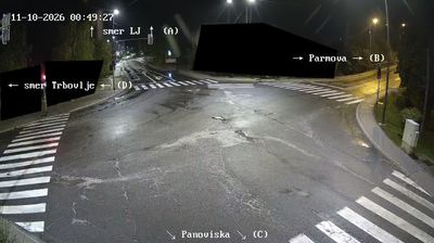

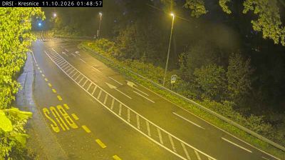
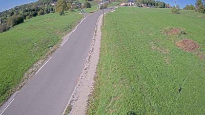

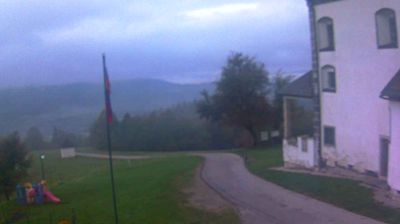

Among the settlements of Slovenia’s Litija Administrative Unit, Litija stands out for its setting in the narrow valley of the Sava River, where rail and road routes follow the water east from Ljubljana. Wooded slopes rise close to the town, giving this stretch of central Slovenia a distinctly valley-bound character. Litija developed as a transport and trading point along the Sava, and its railway station remains on the main line between Ljubljana and Zidani Most. Nearby Vače is home to GEOSS, the Geometric Centre of Slovenia, marked by a monument and visitor site. Continue through nearby webcams to explore different parts of Litija and the Sava valley.
4 webcams
Upravna Enota Litija combines the working character of the Sava valley with quieter wooded hills in a way that reflects its position between Ljubljana and the Zasavje region of central Slovenia. The Sava, Slovenia’s longest river, is the area’s defining corridor, followed by railway and road links through the narrow valley at Litija. Above the town, the former Sitarjevec Mine recalls a long local mining tradition. Near Vače, the Geometric Centre of Slovenia, known as GEOSS, marks a symbolic focal point of the country, while the celebrated Vače situla testifies to Iron Age life. Continue through nearby webcams to explore different parts of Upravna Enota Litija.
5 webcams
Slovenia occupies a meeting point of the Alps, the Pannonian Plain, the Dinaric mountains and the Adriatic coast in south-central Europe. The Julian Alps rise in the northwest, where Triglav is the country’s highest mountain, while the Soča River is known for its clear turquoise water. Karst terrain has shaped caves such as Postojna Cave and the Škocjan Caves, a UNESCO World Heritage site. Ljubljana combines a riverside old town with works by architect Jože Plečnik; farther east, wine-growing regions and thermal springs add another dimension. Slovenian food reflects Alpine, Mediterranean and Balkan influences. Find related webcams in the surrounding area to build a fuller picture of Slovenia and the northern Adriatic.
766 webcams