Saitama Prefecture
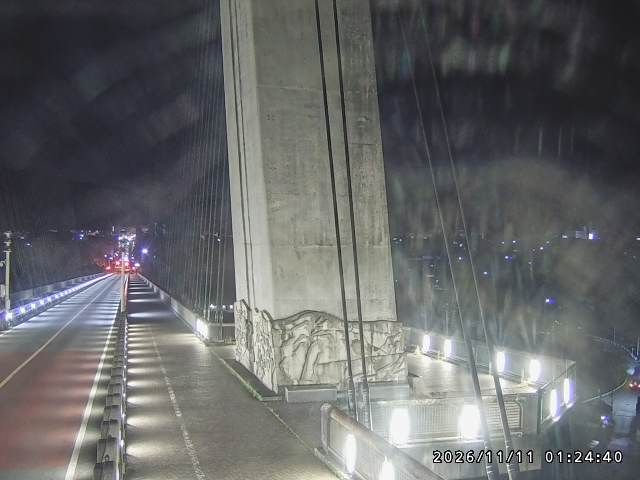
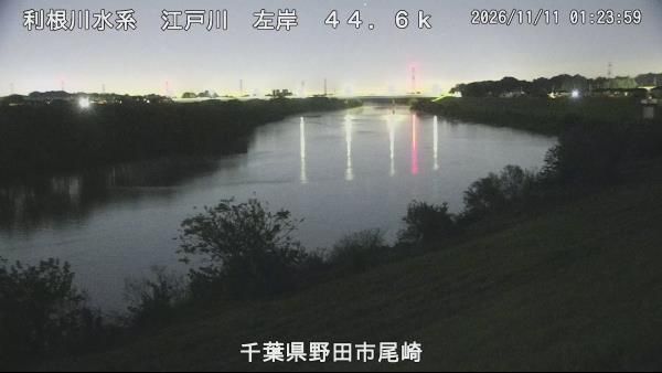
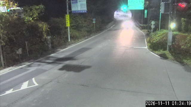
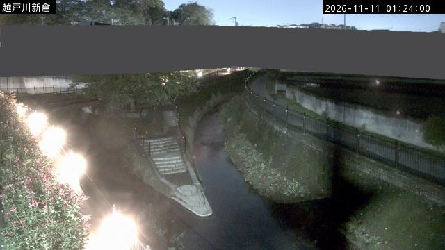
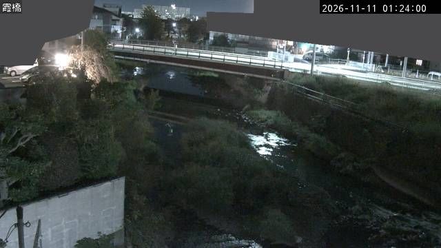
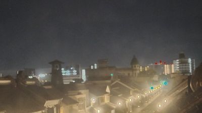
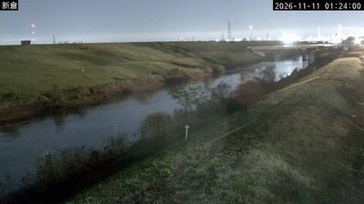
The terrain of Saitama Prefecture ranges from low alluvial plains in the east to the forested Chichibu Mountains in the west, creating a clear transition from metropolitan districts to rural highlands. Much of central and eastern Saitama forms part of the Kantō Plain, where commuter cities, farmland and river corridors extend immediately north of Tokyo. The Arakawa crosses the prefecture, while the west is defined by wooded slopes and small mountain towns. Kawagoe retains streets of kura-style merchant warehouses that recall its importance as an Edo-period commercial centre. In Chichibu, the December Chichibu Night Festival is celebrated with imposing floats and fireworks. Explore nearby webcam locations that provide complementary perspectives on Saitama Prefecture. Generated by AI




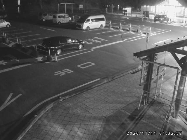

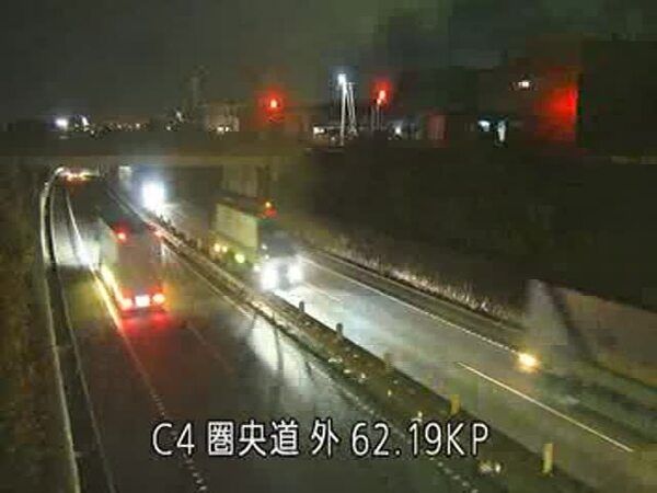
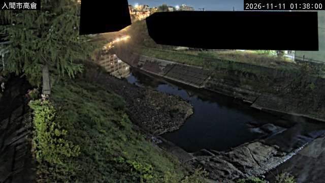


Featured webcams


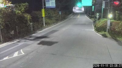
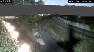
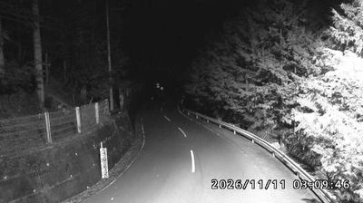


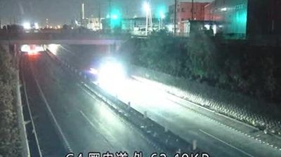

Popular webcams


Recently added webcams
Explore cities and regions of Saitama Prefecture
Saitama Prefecture
40 webcams 25 cities
Ageo
3 webcams
Ashigakubo
2 webcams
Chichibu
2 webcams
Hanno
1 webcam
Higashimatsuyama
1 webcam
Honjo
1 webcam
Iruma
3 webcams
Kasukabe
2 webcams
Kawagoe
1 webcam
Kawarasawa
2 webcams
Kuna
1 webcam
Matsubushi
3 webcams
Midori Ward
1 webcam
Midori-cho 2
1 webcam
Misato
1 webcam
Nagaru
1 webcam
Ogano
1 webcam
Otaki
2 webcams
Sadamine
1 webcam
Satte
2 webcams
Soka
2 webcams
Sugito
1 webcam
Toda
2 webcams
Wako
2 webcams
Yokoze
1 webcam