 Iruma: 根岸橋 - Ken-o Expressway
Iruma sits on the Musashino Plateau in Saitama Prefecture, Japan, where suburban neighbourhoods and logistics sites spread west of Tokyo. The Ken-O Expressway (C4) runs through this urban fringe as part of the metropolitan area’s outer expressway network, carrying traffic between radial routes beyond central Tokyo. Negishi Bridge (根岸橋) crosses the road in a built-up corridor of local streets, utility lines and commercial premises. Iruma is also associated with Sayama tea, one of Japan’s established tea-producing areas; tea fields remain part of the city’s wider landscape. This blend of transport infrastructure, industry and tea-country heritage distinguishes Iruma from Tokyo’s inner wards.
Generated by AI

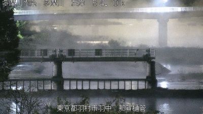

Iruma has been a tea-producing centre in Saitama Prefecture since the Edo period. The city lies on the Iruma River in the western part of the Tokyo metropolitan area, where low uplands and cultivated fields contrast with the dense capital nearby. It is closely associated with Sayama tea, a celebrated Japanese green tea whose production extends across southwestern Saitama; local tea shops and seasonal harvests keep that tradition present in everyday life. Iruma Air Base, operated by the Japan Air Self-Defense Force, is another defining local presence and hosts an annual air festival. Continue with other webcams from the area to see how this part of Saitama Prefecture connects regionally.
3 webcams
The terrain of Saitama Prefecture ranges from low alluvial plains in the east to the forested Chichibu Mountains in the west, creating a clear transition from metropolitan districts to rural highlands. Much of central and eastern Saitama forms part of the Kantō Plain, where commuter cities, farmland and river corridors extend immediately north of Tokyo. The Arakawa crosses the prefecture, while the west is defined by wooded slopes and small mountain towns. Kawagoe retains streets of kura-style merchant warehouses that recall its importance as an Edo-period commercial centre. In Chichibu, the December Chichibu Night Festival is celebrated with imposing floats and fireworks. Explore nearby webcam locations that provide complementary perspectives on Saitama Prefecture.
42 webcams
Among the countries of East Asia, Japan stands out for its volcanic archipelago, stretching from the cool north of Hokkaido to subtropical Okinawa. Mount Fuji, the nation’s highest mountain, rises above central Honshu, while the Pacific Ocean and the Seto Inland Sea have long shaped settlement, fishing and travel. Tokyo pairs dense urban life with major museums and neighbourhood traditions; Kyoto preserves temples, gardens and the legacy of Japan’s imperial court. Seasonal customs give journeys a changing rhythm, from spring cherry blossom viewing to autumn leaves. Regional cooking is equally varied, with sushi, ramen and local specialties reflecting coastlines, climate and agriculture. Explore nearby webcam locations that provide complementary perspectives on Japan’s islands, cities and mountain regions.
1.3K webcams