Mashonaland East Province
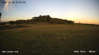
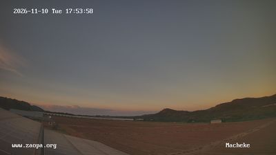
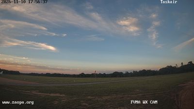
Mashonaland East stretches from the outskirts of Harare to its boundary with Manicaland, encompassing cultivated Highveld country, granite kopjes and valleys that fall away eastward. The province includes Marondera, its administrative centre, and rural districts where maize and tobacco farming remain central to local life. Domboshava, near Goromonzi, is known for its prominent granite domes and prehistoric rock paintings, linking today’s settlement patterns with southern Africa’s deep human past. The Manyame River rises here before flowing west across Zimbabwe. Explore nearby webcam locations that provide complementary perspectives on Mashonaland East. Generated by AI


Featured webcams
Recently added webcams
Explore cities and regions of Mashonaland East Province
Mashonaland East Province
4 webcams 3 cities