 Marondera: Marondera Aerodrome

Marondera Aerodrome occupies open ground in the Marondera area of Zimbabwe’s Mashonaland East Province. The town stands on the Zimbabwean Highveld, a broad upland region where cultivated land, grassland and wooded plots meet. Marondera developed around the railway line connecting Harare with Mutare, and it remains the provincial capital and an important service centre for surrounding farming districts. The aerodrome adds a small-scale aviation presence to this working town, whose low-rise development soon gives way to open ground and lines of trees. Its setting reflects the spacious agricultural character of eastern Mashonaland rather than the density of Zimbabwe’s major cities.
Generated by AI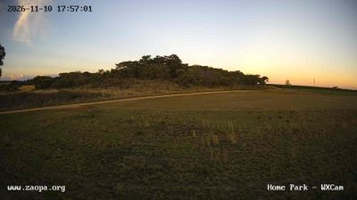
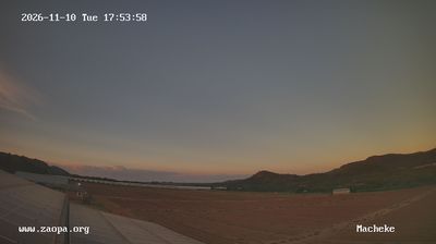

Marondera has served as an administrative and commercial centre in Zimbabwe’s Mashonaland East Province since the early twentieth century. On the Highveld east of Harare, it stands along the rail and road route leading toward Mutare and Mozambique. As the provincial capital, it supports a broad farming district where tobacco and maize are important crops. The town was formerly known as Marandellas, a name still encountered in older records. Marondera is also known across Zimbabwe for Peterhouse, an independent school founded in 1955. Discover other points of interest through webcams located across Mashonaland East.
1 webcam
Mashonaland East stretches from the outskirts of Harare to its boundary with Manicaland, encompassing cultivated Highveld country, granite kopjes and valleys that fall away eastward. The province includes Marondera, its administrative centre, and rural districts where maize and tobacco farming remain central to local life. Domboshava, near Goromonzi, is known for its prominent granite domes and prehistoric rock paintings, linking today’s settlement patterns with southern Africa’s deep human past. The Manyame River rises here before flowing west across Zimbabwe. Explore nearby webcam locations that provide complementary perspectives on Mashonaland East.
4 webcams
Zimbabwe occupies a landlocked position in southern Africa. The Zambezi River forms much of its northern frontier, and Victoria Falls, where the river drops into the Batoka Gorge, is among the country’s defining landmarks. Granite outcrops and open grassland in Matobo National Park contrast with the forested slopes of the Eastern Highlands near Mozambique. Great Zimbabwe’s dry-stone walls mark a medieval urban centre that gave the modern nation its name, and the site is listed by UNESCO. Wildlife reserves, including Hwange National Park, are central to Zimbabwe’s identity, while Harare is its capital and largest city. See how Zimbabwe fits within southern Africa by browsing webcams nearby.
20 webcams