 Bolungarvík
Few places in the Westfjords have a history as closely tied to fishing as Bolungarvík. The town stands on the shore of its namesake bay, enclosed by steep, horizontally banded basalt mountains characteristic of northwest Iceland. Its harbour has long shaped local work and connections by sea, and fishing remains central to the community’s identity. At Ósvör, a maritime museum reconstructs a 19th-century fishing station, including turf-roofed buildings. This small coastal settlement pairs the everyday rhythms of a working town with the elemental geology of Iceland’s far northwest. The broad bay and mountain walls underline why access by sea once mattered so much here.
Generated by AI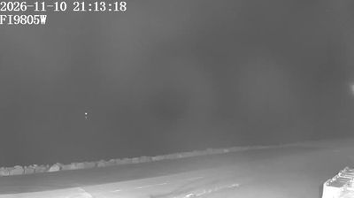
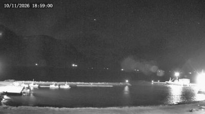


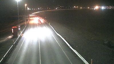
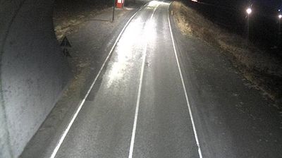
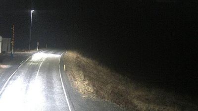

Bolungarvík lies along Bolungarvík Bay on Iceland’s northwestern coast, where steep, flat-topped Westfjords mountains rise directly from the sea. The town remains a working fishing community, and its harbour reflects a way of life shaped by North Atlantic waters and weather. Ósvör Maritime Museum preserves a reconstruction of a 19th-century fishing station, recalling the era when crews worked from open rowing boats. Bolafjall towers above the settlement as part of the rugged mountain terrain that defines this part of the Westfjords. Bolungarvík is also a useful place to understand the region’s closely spaced coastal communities and their enduring connection to the sea. Explore nearby webcam locations that provide complementary perspectives on Bolungarvík and the Westfjords.
6 webcams
Bolungarvíkurkaupstaður occupies a rugged coastal pocket on Iceland’s Westfjords peninsula, in the country’s northwest. The municipality is centred on Bolungarvík, a fishing town beside the bay of the same name, where steep mountains rise directly from the shore and the North Atlantic sets the rhythm of daily life. Bolafjall forms a prominent mountain backdrop, while the surrounding coast and valleys convey the scale and isolation for which the Westfjords are known. Fishing has long shaped local life; Ósvör, a reconstructed 19th-century fishing station, preserves that seafaring heritage. Continue through nearby webcams to explore different parts of the Westfjords around Bolungarvík.
6 webcams
Iceland occupies a volcanic North Atlantic island on the Mid-Atlantic Ridge, between Europe and North America. Glaciers, black-sand shores and active geothermal areas form a terrain in constant dialogue with the weather; Vatnajökull is Europe’s largest glacier by volume. The Golden Circle links Þingvellir National Park, the Geysir geothermal area and Gullfoss waterfall, while Reykjavík concentrates much of the country’s contemporary culture and design. At Þingvellir, the Alþingi first assembled in 930. Fishing, wool knitwear and geothermal energy remain central to Icelandic life. Find related webcams in the surrounding area to build a fuller picture of Iceland.
628 webcams