 Flateyri: BB-göng_BR
Among the places of Ísafjarðarbær, Flateyri stands out for its position on a narrow sand spit beside Önundarfjörður, a broad fjord in Iceland’s Westfjords. Steep mountains rise directly behind this compact coastal settlement, while the fjord opens towards the sea. Fishing has long shaped local life, reflected in Flateyri’s harbour and closely built-up shoreline. The community is also marked by the devastating avalanche of 1995, which killed 20 people; avalanche barriers above the settlement are now an important part of its setting. Roads along Önundarfjörður connect Flateyri with the wider Ísafjörður area and the region’s deeply indented fjord coast.
Generated by AI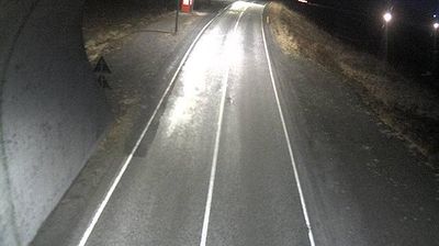
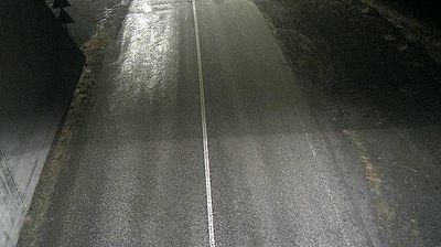

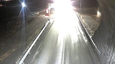

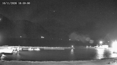
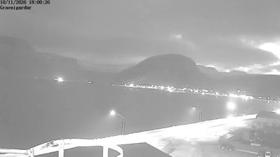
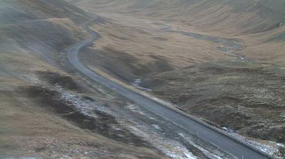


Flateyri has served as a trading post in Iceland’s Westfjords since the late 18th century. The settlement occupies the northern shore of Önundarfjörður, a fjord opening toward the Denmark Strait, with steep mountains rising close behind its compact waterfront. Fishing remains central to local life, while the Old Bookstore, opened in 1914, preserves the character of a small Icelandic shop from another era. Flateyri is also marked by the 1995 avalanche, a disaster remembered locally and followed by the construction of protective barriers above the town. Explore how Flateyri belongs within the Westfjords by browsing webcams in nearby fjords and settlements.
3 webcams
Ísafjarðarbær has been a fishing heartland within Iceland’s Westfjords since the 19th century. Its settlements are dispersed along narrow, steep-sided fjords, where the sea has long dictated travel, work and seasonal life. Ísafjörður, the municipality’s main town, stands beside Skutulsfjörður and remains the area’s principal service centre; its harbour and older waterfront reflect an enduring maritime role. Beyond it lie Suðureyri, Flateyri and Þingeyri, each set beside its own fjord. Ísafjarðardjúp forms a broad inlet to the north, while surrounding plateaux and mountain slopes give the district a distinctly remote scale. Explore nearby webcam locations that provide complementary perspectives on Ísafjarðarbær’s Westfjords.
20 webcams
Iceland occupies a volcanic North Atlantic island on the Mid-Atlantic Ridge, between Europe and North America. Glaciers, black-sand shores and active geothermal areas form a terrain in constant dialogue with the weather; Vatnajökull is Europe’s largest glacier by volume. The Golden Circle links Þingvellir National Park, the Geysir geothermal area and Gullfoss waterfall, while Reykjavík concentrates much of the country’s contemporary culture and design. At Þingvellir, the Alþingi first assembled in 930. Fishing, wool knitwear and geothermal energy remain central to Icelandic life. Find related webcams in the surrounding area to build a fuller picture of Iceland.
652 webcams