 Patreksfjörður: Bolungarvíkurgöng við Bolungarvík
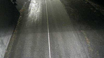
The Westfjords peninsula defines the setting of Kleifaheiði — this broad, treeless mountain heath carries Road 62 across the interior between Patreksfjörður and the Barðaströnd coast. It is not a settled valley but an open expanse of volcanic rock, gravel and low vegetation, crossed by the engineered road that forms a key overland connection for Patreksfjörður. The route reflects a defining feature of the Westfjords: steep fjords and uplands separate communities, making mountain roads essential infrastructure. At the western end lies Patreksfjörður, a fishing town whose name recalls Saint Patrick, an unusual Irish association in Icelandic place-names. Kleifaheiði conveys the scale and remoteness of this sparsely populated peninsula.
Generated by AI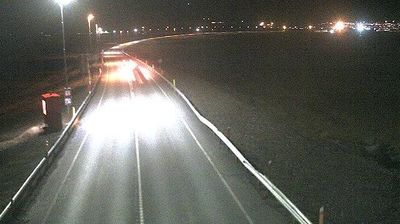

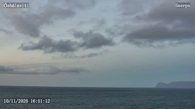
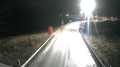
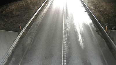
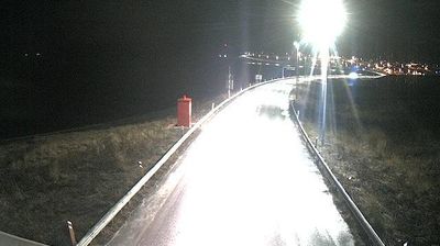
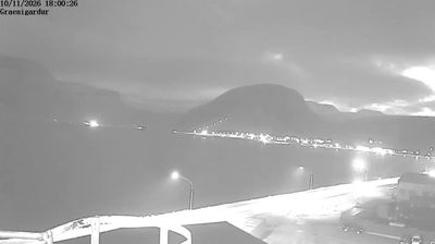

Patreksfjörður is best known in Iceland for its historic role as a trading settlement in the southern Westfjords. The town occupies a sheltered shore of Patreksfjörður, a fjord opening toward Breiðafjörður, where steep, treeless slopes meet the North Atlantic. Its name recalls Saint Patrick, an unusual Irish connection in Icelandic place-names. Patreksfjörður is also a practical base for the south-western peninsula: the cliffs of Látrabjarg, renowned for their seabird colonies, lie farther along the coast. Browse additional webcams from the surrounding Westfjords to extend your view of Iceland’s northwestern coast.
4 webcams
The terrain of Vesturbyggð ranges from low coastal flats along Barðaströnd to steep, fjord-cut mountains around Arnarfjörður, creating a municipality of scattered settlements and long coastal routes. This southern part of Iceland’s Westfjords faces the North Atlantic and includes Rauðisandur, a broad beach known for its red and golden tones. At Látrabjarg, towering sea cliffs provide nesting ground for large seabird colonies, including puffins. Patreksfjörður has long been shaped by fishing, a tradition that remains central to local life. Discover how Vesturbyggð belongs to the wider Westfjords by browsing webcams in the surrounding area.
10 webcams
Iceland occupies a volcanic North Atlantic island on the Mid-Atlantic Ridge, between Europe and North America. Glaciers, black-sand shores and active geothermal areas form a terrain in constant dialogue with the weather; Vatnajökull is Europe’s largest glacier by volume. The Golden Circle links Þingvellir National Park, the Geysir geothermal area and Gullfoss waterfall, while Reykjavík concentrates much of the country’s contemporary culture and design. At Þingvellir, the Alþingi first assembled in 930. Fishing, wool knitwear and geothermal energy remain central to Icelandic life. Find related webcams in the surrounding area to build a fuller picture of Iceland.
628 webcams