 Krasocin
The landscape around Krasocin is gently rolling farmland, which has shaped both the built environment and local life. This settlement in Poland’s Holy Cross Voivodeship has a dispersed pattern of homes, lanes and cultivated plots, with bands of trees marking field boundaries and shallow hollows. Low uplands rather than dramatic relief give the area its open rural scale. A traditional windmill adds a distinct element of vernacular architecture, recalling the practical use of wind power in farming communities. Krasocin belongs to the wider south-central Polish countryside, where everyday life remains closely tied to small-scale agriculture and nearby villages.
Generated by AI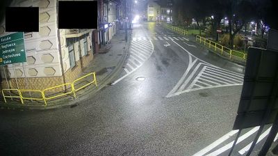
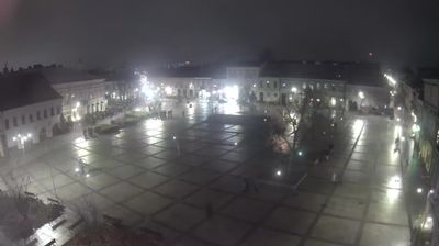


Krasocin straddles the Czarna Włoszczowska River in north-western Holy Cross Voivodeship, and its setting among fields and woodland has shaped it as the administrative centre of a dispersed rural gmina. Part of Włoszczowa County, it represents the quieter agricultural side of south-central Poland, away from the region’s better-known Świętokrzyskie Mountains. Local services and parish life connect Krasocin with the many smaller settlements around it, while the river valley gives the area a clear sense of place. Browse other webcams across Holy Cross Voivodeship to place this setting in a wider geographic context.
1 webcam
The terrain of Holy Cross Voivodeship ranges from the forested Świętokrzyskie Mountains in its north-central belt to the limestone hills and river valleys of the Nida Basin in the south, giving the region a compact but varied inland character. Łysica, at 614 metres, is the highest point of the Świętokrzyskie Mountains, while the Nida flows through a quieter agricultural district. Kielce, the voivodeship capital, is home to the 17th-century Palace of the Kraków Bishops. The Holy Cross monastery on Łysa Góra gave the region its name and remains a defining spiritual landmark. Continue with other webcams from the area to see how this part of south-central Poland connects regionally.
20 webcams
Poland stretches from the Baltic Sea coast in the north to the Carpathian Mountains along its southern frontier, encompassing broad lowlands, lake districts and upland ranges. The Vistula, the country’s longest river, links Kraków and Warsaw before reaching the Baltic near Gdańsk, while the Masurian Lake District is defined by a dense network of lakes. Kraków’s historic centre, including Wawel Castle, recalls Poland’s former royal capital; Warsaw’s rebuilt Old Town speaks to the city’s recovery after the Second World War. The Białowieża Forest preserves one of Europe’s last primeval lowland forests and is home to European bison. Follow how Poland’s regions relate to one another by browsing webcams across the country.
716 webcams