 Retalhuleu
 combines the working rhythm of a Pacific lowland city with the presence of Guatemala’s volcanic highlands in a way that reflects its position on the Pacific piedmont. The urban centre serves an agricultural department where sugar cane and other crops are important to the local economy, while the Sierra Madre rises to the north and the Pacific coast lies to the south. Retalhuleu is also a practical base for exploring the department’s cultural and recreational sites. Tak'alik Ab'aj, a UNESCO World Heritage archaeological site in the department, documents centuries of exchange between Maya and earlier Mesoamerican traditions. The city’s everyday commerce is closely tied to this wider landscape of plantations, transport links and pre-Columbian heritage.
Generated by AI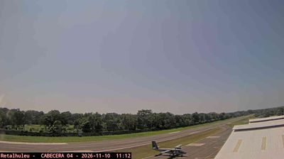


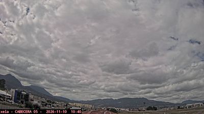
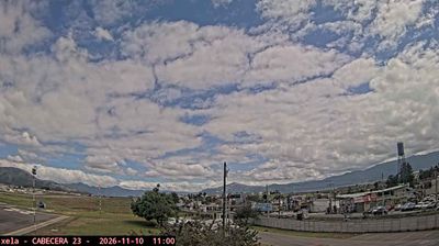

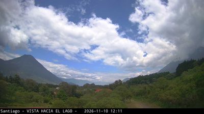

Among the cities of Guatemala’s Pacific lowlands, Retalhuleu stands out as the departmental capital linked to the UNESCO-listed Maya site of Tak'alik Ab'aj. The city lies inland from the Pacific coast, where the coastal plain approaches the volcanic foothills of southwestern Guatemala. Retalhuleu serves as an urban and commercial centre for an agricultural district, while the Horacio Alejos León Archaeology and Ethnology Museum introduces the region’s pre-Hispanic heritage. Tak'alik Ab'aj is noted for evidence of both Olmec and Maya traditions, placing the city within one of Mesoamerica’s important cultural transition zones. Find related webcams in the surrounding area to build a fuller picture of Retalhuleu and Guatemala’s Pacific lowlands.
3 webcams
Among the regions of Guatemala, Retalhuleu stands out for its Pacific lowlands, where sugar cane and other crops occupy land between volcanic foothills and the Pacific Ocean. Its departmental capital, also called Retalhuleu, lies in southwestern Guatemala amid an economy long shaped by agriculture and trade. At El Asintal, Tak'alik Ab'aj Archaeological Park preserves a major ancient centre with evidence of both Olmec and Maya traditions; it was inscribed on UNESCO’s World Heritage List in 2023. The wider area also includes IRTRA’s recreation parks at San Martín Zapotitlán. Discover other points of interest through webcams located across Retalhuleu.
4 webcams
Guatemala has served as a crossroads between Mesoamerica’s Pacific and Caribbean corridors since pre-Columbian times. The country brings together the volcanic chain of the Sierra Madre, the broad Pacific lowlands and the forested Petén, where Tikal preserves the temples of one of the great Maya cities. Lake Atitlán lies in the western highlands, encircled by volcanoes and communities where Maya languages and textile traditions remain part of everyday life. In Antigua Guatemala, colonial churches and convents stand amid streets laid out under Spanish rule; the city is a UNESCO World Heritage site. Coffee growing is also central to many highland regions. Find related webcams in the surrounding area to build a fuller picture of Guatemala’s highlands, volcanoes and Maya heartland.
26 webcams