 Het Hogeland
The Wadden Sea defines the setting of Lauwersoog — its exposed Dutch coast has made this compact harbour a working link between Groningen and the island of Schiermonnikoog. Built beside the dam that closed the former Lauwerszee in 1969, Lauwersoog pairs sea-going infrastructure with the sheltered Lauwersmeer behind the dike. Its harbour handles fishing vessels, pleasure craft and the ferry to Schiermonnikoog, while the surrounding waters form part of the UNESCO-listed Wadden Sea, a tidal wetland shared by the Netherlands, Germany and Denmark. Nearby Lauwersmeer National Park brings together broad water, dikes and the open reclaimed landscapes of the northern Netherlands.
Generated by AI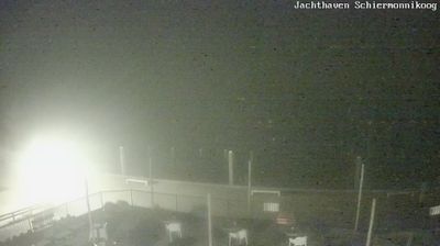
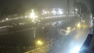
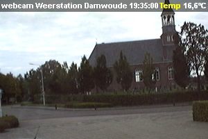



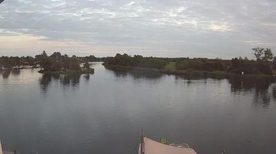
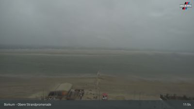


Het Hogeland lies along the Wadden Sea coast in northern Groningen, where reclaimed clay plains, drainage ditches and raised village mounds extend towards the dikes. This rural municipality includes historic settlements such as Warffum, Uithuizen and Winsum, all shaped by centuries of living with the sea and fertile coastal soil. In Uithuizen, Menkemaborg preserves the character of an 18th-century Groningen country estate, with period interiors and formal gardens. The Wadden Sea, shared by the Netherlands, Germany and Denmark, is a UNESCO World Heritage site. Browse additional webcams from the surrounding area to extend your view of the Groningen coast and Wadden Sea.
1 webcam
The terrain of Groningen ranges from sea-clay plains in the north to peatland and sandy ground in the southeast, creating an exceptionally open countryside shaped by water management. The province meets the Wadden Sea, whose tidal flats form part of the UNESCO-listed Wadden Sea system, while the Ems estuary marks its eastern edge. Groningen city is the regional centre, recognised by the Martinitoren, a medieval church tower that rises above its historic core. Beyond the city, old waterways, farm country and villages built on raised mounds reflect centuries of life on low-lying land. Continue through nearby webcams to explore different parts of Groningen.
5 webcams
Among the countries of northwestern Europe, the Netherlands stands out for its carefully managed lowlands in the Rhine–Meuse–Scheldt delta. Much of the country lies low in relation to the sea, and dikes, dunes, pumps and polders are integral to its everyday geography. The North Sea coast ranges from broad beaches to the Wadden Sea, a tidal area shared with Germany and Denmark. Amsterdam’s 17th-century canal ring recalls an era when Dutch trade connected the republic with ports around the world. Beyond the capital, bicycles, dairy farming, bulb fields and compact historic cities give the country a distinct rhythm. Rotterdam’s port and the Delta Works show how maritime commerce and water engineering remain central. View additional webcams nearby to better understand how the Rhine–Meuse–Scheldt delta relates to its North Sea surroundings.
131 webcams