 Ameland
 sits between the North Sea and the Wadden Sea in the Dutch province of Friesland, where dunes and wide sandy shores form a long barrier island. It is one of the West Frisian Islands, a chain that protects the shallow tidal flats of the Wadden Sea, a UNESCO World Heritage Site. The island’s four villages—Hollum, Ballum, Nes and Buren—retain a maritime character of brick houses and small streets, while ferry-linked Nes is the main arrival point. Near Hollum, the red-and-white Bornrif lighthouse, built in 1880, is a familiar landmark. Paths through the dunes connect the settlements with beach entrances and coastal facilities, while the southern shore faces the channels and mudflats of the Wadden Sea.
Generated by AI

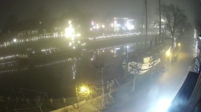
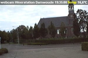
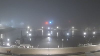
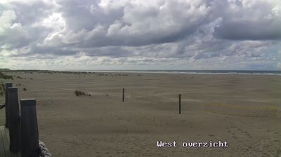


Tucked between the Wadden Sea and the North Sea, Ameland is an island whose character is shaped by tides, dunes and broad beaches. Part of the West Frisian Islands off the northern Dutch coast, it has four villages—Hollum, Ballum, Nes and Buren—connected by roads and cycle paths across its low-lying terrain. The red-and-white Bornrif lighthouse in Hollum, built in 1880, is the island’s most recognisable landmark. Ameland also lies beside the UNESCO-listed Wadden Sea, where tidal flats provide feeding grounds for many birds. View additional webcams nearby to better understand how Ameland relates to the Wadden Sea and North Sea.
3 webcams
Built around peatland waterways, reclaimed fields and dykes, Frisia grew into a distinctive northern Dutch region shaped by farming and water management. Its coast meets the Wadden Sea, whose tidal flats and islands form a UNESCO World Heritage landscape, while the inland Frisian Lakes connect towns, pasture and sailing routes. West Frisian is recognised alongside Dutch in the province, underlining a strong regional identity. Leeuwarden, the provincial capital, was European Capital of Culture in 2018, and the Elfstedentocht skating tour traditionally links eleven Frisian cities when winter ice allows. Move on to other webcams in the region to compare waterside towns, dykes and open fields around Frisia.
20 webcams
Among the countries of northwestern Europe, the Netherlands stands out for its carefully managed lowlands in the Rhine–Meuse–Scheldt delta. Much of the country lies low in relation to the sea, and dikes, dunes, pumps and polders are integral to its everyday geography. The North Sea coast ranges from broad beaches to the Wadden Sea, a tidal area shared with Germany and Denmark. Amsterdam’s 17th-century canal ring recalls an era when Dutch trade connected the republic with ports around the world. Beyond the capital, bicycles, dairy farming, bulb fields and compact historic cities give the country a distinct rhythm. Rotterdam’s port and the Delta Works show how maritime commerce and water engineering remain central. View additional webcams nearby to better understand how the Rhine–Meuse–Scheldt delta relates to its North Sea surroundings.
132 webcams