 Tytsjerksteradiel
Burgumer Mar, also called Bergumermeer, and the low-lying Frisian plain define the setting of Tytsjerksteradiel — watercourses, pastureland and compact settlements give this part of Fryslân an open, horizontal character. The municipality occupies a broad stretch of northeastern Friesland, with Burgum as its administrative centre and villages dispersed among fields, woodland and canals. West Frisian, officially recognised alongside Dutch in the province, remains central to local identity and to the area’s distinctive place names. In Harkema, the open-air museum De Spitkeet recalls the lives of peat workers and smallholders, preserving a record of the region’s poorer rural past. Tytsjerksteradiel is a working countryside shaped by water management and everyday village life.
Generated by AI
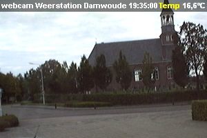
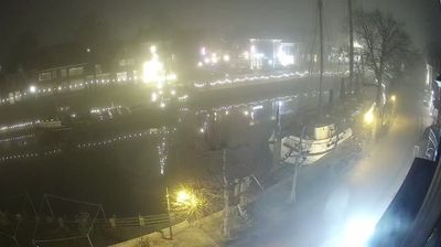
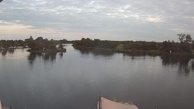

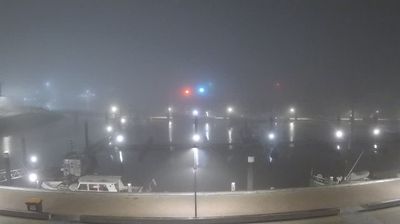

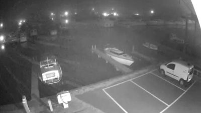

Tytsjerksteradiel combines Friesland’s open waters with the wooded character of the Fryske Wâlden in a way that reflects its position between clay country and the sandy northeast. The municipality includes Burgumer Mar, a broad Frisian lake connected to regional waterways, while the Prinses Margrietkanaal is an important route through this part of the province. Villages such as Burgum and Feanwâlden retain a distinctly local scale. In Feanwâlden, the Skierstins, a medieval stone house, recalls the area’s older rural history. Cycling routes and quiet roads run between fields, canals and tree-lined settlements rather than a single urban centre. Browse additional webcams from the surrounding area to extend your view of Friesland.
2 webcams
Built around peatland waterways, reclaimed fields and dykes, Frisia grew into a distinctive northern Dutch region shaped by farming and water management. Its coast meets the Wadden Sea, whose tidal flats and islands form a UNESCO World Heritage landscape, while the inland Frisian Lakes connect towns, pasture and sailing routes. West Frisian is recognised alongside Dutch in the province, underlining a strong regional identity. Leeuwarden, the provincial capital, was European Capital of Culture in 2018, and the Elfstedentocht skating tour traditionally links eleven Frisian cities when winter ice allows. Move on to other webcams in the region to compare waterside towns, dykes and open fields around Frisia.
20 webcams
Among the countries of northwestern Europe, the Netherlands stands out for its carefully managed lowlands in the Rhine–Meuse–Scheldt delta. Much of the country lies low in relation to the sea, and dikes, dunes, pumps and polders are integral to its everyday geography. The North Sea coast ranges from broad beaches to the Wadden Sea, a tidal area shared with Germany and Denmark. Amsterdam’s 17th-century canal ring recalls an era when Dutch trade connected the republic with ports around the world. Beyond the capital, bicycles, dairy farming, bulb fields and compact historic cities give the country a distinct rhythm. Rotterdam’s port and the Delta Works show how maritime commerce and water engineering remain central. View additional webcams nearby to better understand how the Rhine–Meuse–Scheldt delta relates to its North Sea surroundings.
126 webcams