 Lezayre: Bungalow Railway Station
Bungalow Railway Station combines a remote upland setting with a long-established transport role in a way that reflects its position on the Isle of Man’s central high ground. It is a stop on the Snaefell Mountain Railway, an electric line opened in 1895 that runs from Laxey to the summit of Snaefell. At 621 metres, Snaefell is the Isle of Man’s highest peak, and its open slopes define the surrounding terrain. Bungalow stands beside the A18 Mountain Road, a public-road section of the Isle of Man TT Course. The meeting of railway, road and moorland connects this small station to the island’s celebrated motorcycle-racing tradition.
Generated by AI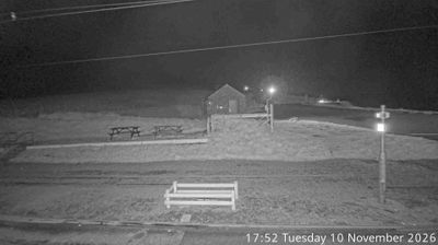

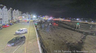
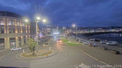

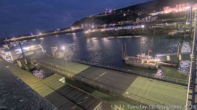
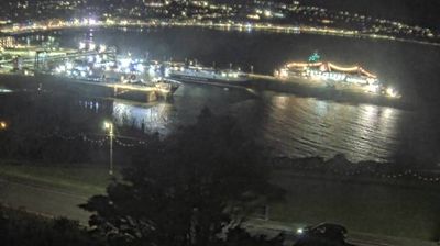
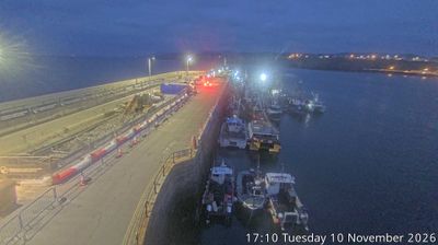

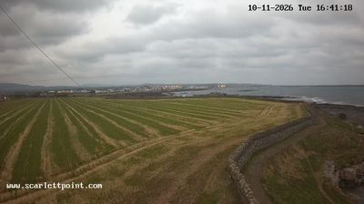

Lezayre has served as a rural parish in Ayre since the Middle Ages. The River Sulby runs through its countryside on its way north to the Irish Sea, while the parish extends across moorland and the northern slopes of the Isle of Man’s central hills. Scattered farms, small settlements and open roads give this part of the island a distinctly inland character. Kirk Christ, Lezayre, remains a focal point of the parish’s long-established community life. Browse other webcams across the Isle of Man to place Lezayre in a wider geographic context.
2 webcams
Ayre is best known within the Isle of Man for the Point of Ayre, the island’s northernmost headland. This low-lying northern district differs sharply from the island’s central hills, with open farmland, sandy shores and wide horizons facing the Irish Sea. The Point of Ayre Lighthouse complex is a longstanding coastal landmark, while the nearby Ayres National Nature Reserve protects dune, heath and wetland habitats. Small settlements such as Bride retain the quiet rural character of the Manx north, where farming and the sea have long shaped daily life. Move on to other webcams in the region to compare landscapes and settings around Ayre.
2 webcams
The Isle of Man stretches from the low-lying northern plain to the rugged southern coast, encompassing hills, farmland and Irish Sea shorelines. Set in the centre of the Irish Sea between Great Britain and Ireland, it has a distinct identity as a self-governing Crown Dependency. Snaefell, at 621 metres, is its highest summit. Coastal Peel is marked by Peel Castle, while Tynwald Hill at St John’s hosts the annual open-air ceremony of the island’s parliament, Tynwald. The Isle of Man TT brings motorcycle racing to public roads closed for the event each year. Continue through nearby webcams to explore different parts of the Isle of Man.
13 webcams