 Peel
Peel occupies a sheltered harbour on the Isle of Man’s west coast in Glenfaba. Facing the Irish Sea, the town developed around a fishing port whose quays remain central to its identity. At the harbour entrance, Peel Castle stands on St Patrick’s Isle, a tidal islet joined to the town by a causeway. Its ruins bring together a medieval fortress, the former Cathedral of St German and traces of the island’s Norse and later rulers. Peel is also closely associated with Manx kippers: herrings traditionally smoked over wood, a local food with a long connection to the port. The waterfront combines working marine infrastructure, fishing heritage and the open sweep of the west coast.
Generated by AI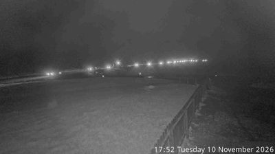
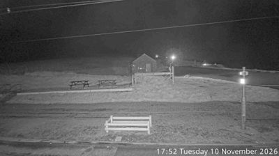

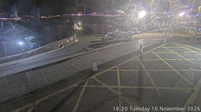
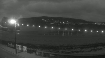

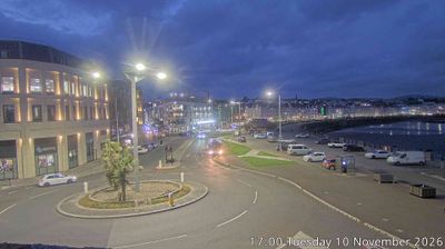
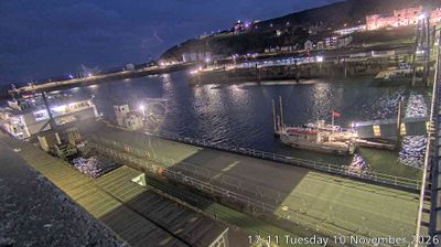

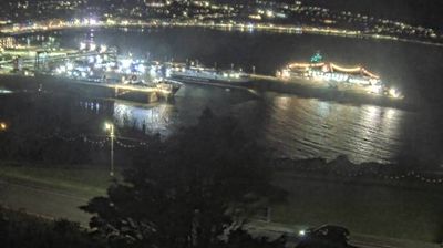

Peel lies along the Irish Sea coast on the Isle of Man’s west side, where Peel Bay meets low headlands and open water toward Ireland. The town’s defining landmark is Peel Castle on St Patrick’s Isle, a fortified site whose ruins include Norse and medieval remains and the Cathedral of St German. A causeway joins the islet to the harbour area, which has long supported fishing and remains central to local life. Peel is also closely associated with Manx kippers, traditionally smoked herring, while the House of Manannan explores the island’s maritime past. View additional webcams nearby to better understand how Peel’s western coast relates to the wider Isle of Man.
1 webcam
Glenfaba runs from the Isle of Man’s central uplands to the Irish Sea, embracing farmland, river valleys and a section of the island’s western coast. Around St John’s, the River Neb passes through a settled interior of fields and low hills before continuing towards Peel. Tynwald Hill at St John’s is the ceremonial setting for the annual open-air sitting of Tynwald, the Manx parliament, on Tynwald Day. Nearby Peel has a strong maritime character: Peel Castle stands on St Patrick’s Isle beside Peel Bay, and the town was once the island’s capital. Manx Gaelic place names, rural roads and the island’s distinct political traditions give this compact district a clear identity. View additional webcams nearby to better understand how Glenfaba relates to the Isle of Man’s coast and interior.
1 webcam
The Isle of Man stretches from the low-lying northern plain to the rugged southern coast, encompassing hills, farmland and Irish Sea shorelines. Set in the centre of the Irish Sea between Great Britain and Ireland, it has a distinct identity as a self-governing Crown Dependency. Snaefell, at 621 metres, is its highest summit. Coastal Peel is marked by Peel Castle, while Tynwald Hill at St John’s hosts the annual open-air ceremony of the island’s parliament, Tynwald. The Isle of Man TT brings motorcycle racing to public roads closed for the event each year. Continue through nearby webcams to explore different parts of the Isle of Man.
13 webcams