 Koga: Tone River
The Tone River near Koga combines an expansive floodplain with the carefully managed character of Japan’s Kanto Plain, reflecting its role as a major lowland waterway. Flowing east toward the Pacific, it forms part of the broad alluvial landscape between Ibaraki, Saitama and Chiba prefectures. Levees, riverside service roads and cultivated fields show how closely settlement and agriculture have long depended on flood protection. During the Edo period, the Tone’s course was redirected eastward in a vast water-control project that helped protect Edo, now Tokyo, and strengthened inland transport. This reach near Koga conveys the practical scale of a river that remains central to regional drainage and land use.
Generated by AI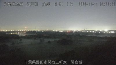
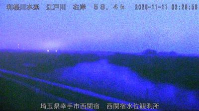

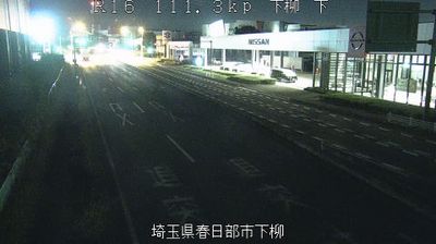
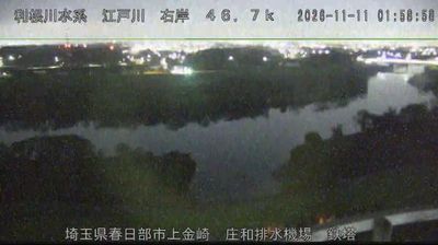
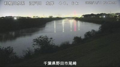

Built around a castle town and post station on the Nikkō Kaidō, Koga grew into a regional city on the Watarase River in western Ibaraki Prefecture. During the Edo period, it was the seat of the Koga Domain, while the Nikkō Kaidō carried travellers between Edo and the Tōshō-gū shrine complex at Nikkō. Koga Castle, once close to the river, has disappeared, yet its legacy is documented at the Koga History Museum. The city lies on the Kantō Plain near the Tone River system, with rail connections towards Tokyo and neighbouring Tochigi. See how Koga belongs to western Ibaraki and the wider Kantō Plain by browsing webcams nearby.
1 webcam
Ibaraki Prefecture has served as an administrative and agricultural heartland within eastern Japan since the Edo period. Spreading across the northeastern Kantō Plain, it meets the Pacific Ocean to the east and is shaped inland by Lake Kasumigaura, Japan’s second-largest lake. Mount Tsukuba, with its two distinctive summits, is a defining landmark west of the lake. The prefectural capital, Mito, was the seat of a Tokugawa branch domain; its Kairakuen garden was created in 1841 by Tokugawa Nariaki and is celebrated for its plum groves. Agriculture remains central, from rice fields to melon cultivation, while the coast adds fishing ports and broad beaches. Explore additional webcams nearby to understand how Ibaraki Prefecture connects with the Kantō Plain and Pacific shore.
17 webcams
Among the countries of East Asia, Japan stands out for its volcanic archipelago, stretching from the cool north of Hokkaido to subtropical Okinawa. Mount Fuji, the nation’s highest mountain, rises above central Honshu, while the Pacific Ocean and the Seto Inland Sea have long shaped settlement, fishing and travel. Tokyo pairs dense urban life with major museums and neighbourhood traditions; Kyoto preserves temples, gardens and the legacy of Japan’s imperial court. Seasonal customs give journeys a changing rhythm, from spring cherry blossom viewing to autumn leaves. Regional cooking is equally varied, with sushi, ramen and local specialties reflecting coastlines, climate and agriculture. Explore nearby webcam locations that provide complementary perspectives on Japan’s islands, cities and mountain regions.
1.3K webcams