Ibaraki Prefecture
Ibaraki Prefecture has served as an administrative and agricultural heartland within eastern Japan since the Edo period. Spreading across the northeastern Kantō Plain, it meets the Pacific Ocean to the east and is shaped inland by Lake Kasumigaura, Japan’s second-largest lake. Mount Tsukuba, with its two distinctive summits, is a defining landmark west of the lake. The prefectural capital, Mito, was the seat of a Tokugawa branch domain; its Kairakuen garden was created in 1841 by Tokugawa Nariaki and is celebrated for its plum groves. Agriculture remains central, from rice fields to melon cultivation, while the coast adds fishing ports and broad beaches. Explore additional webcams nearby to understand how Ibaraki Prefecture connects with the Kantō Plain and Pacific shore. Generated by AI


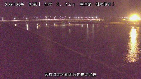


Featured webcams


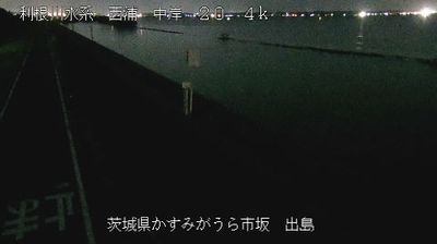
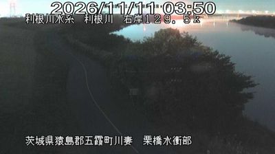
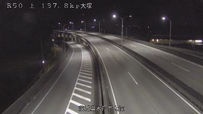







Popular webcams
Recently added webcams
Explore cities and regions of Ibaraki Prefecture
Ibaraki Prefecture
17 webcams 13 cities