 Satte
Satte occupies the low alluvial plain along the Edo River in eastern Saitama Prefecture. The broad channel is a distributary of the Tone River system, flowing south toward Tokyo Bay, while substantial levees show how flood control has shaped settlement across the Kanto Plain. Around Nishisekijuku, riverbanks, fields and service roads retain the open character of these lowlands. Satte is also known for Gongendo Tsutsumi, an embankment lined with cherry trees and a longstanding local destination during the blossom period. The city stands close to the border with Chiba Prefecture on the far side of the Edo River.
Generated by AI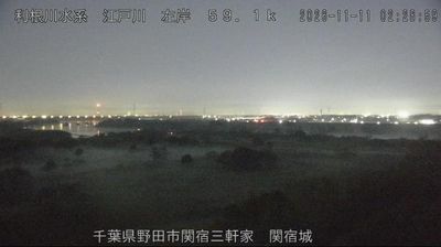
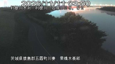

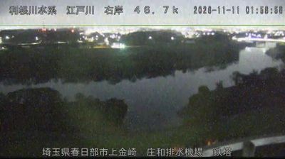
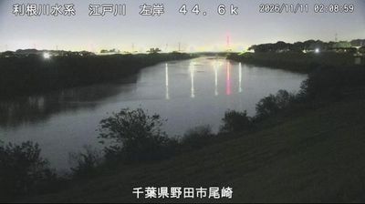
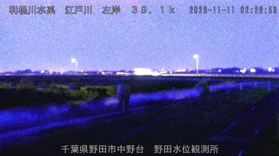
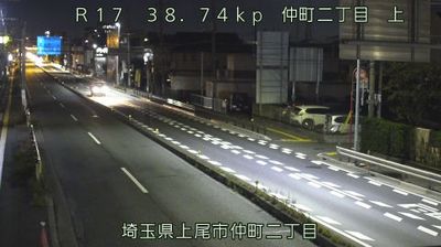

The landscape around Satte is a low, river-shaped part of the Kantō Plain, which has shaped both the city’s spread and its long connection with agriculture. The Nakagawa and other waterways of eastern Saitama place it within broad lowlands between Tokyo and Ibaraki, where embankments remain an important feature of the terrain. Satte is best known for Gongendō Park, where a long bank is lined with roughly 1,000 Somei-Yoshino cherry trees; spring also brings fields of rapeseed beside the blossom avenue. The old Nikkō Kaidō passed through Satte, recalling the road that once linked Edo with Nikkō’s shrines and temples. Continue through nearby webcams to explore different parts of eastern Saitama.
2 webcams
The terrain of Saitama Prefecture ranges from low alluvial plains in the east to the forested Chichibu Mountains in the west, creating a clear transition from metropolitan districts to rural highlands. Much of central and eastern Saitama forms part of the Kantō Plain, where commuter cities, farmland and river corridors extend immediately north of Tokyo. The Arakawa crosses the prefecture, while the west is defined by wooded slopes and small mountain towns. Kawagoe retains streets of kura-style merchant warehouses that recall its importance as an Edo-period commercial centre. In Chichibu, the December Chichibu Night Festival is celebrated with imposing floats and fireworks. Explore nearby webcam locations that provide complementary perspectives on Saitama Prefecture.
41 webcams
Among the countries of East Asia, Japan stands out for its volcanic archipelago, stretching from the cool north of Hokkaido to subtropical Okinawa. Mount Fuji, the nation’s highest mountain, rises above central Honshu, while the Pacific Ocean and the Seto Inland Sea have long shaped settlement, fishing and travel. Tokyo pairs dense urban life with major museums and neighbourhood traditions; Kyoto preserves temples, gardens and the legacy of Japan’s imperial court. Seasonal customs give journeys a changing rhythm, from spring cherry blossom viewing to autumn leaves. Regional cooking is equally varied, with sushi, ramen and local specialties reflecting coastlines, climate and agriculture. Explore nearby webcam locations that provide complementary perspectives on Japan’s islands, cities and mountain regions.
1.3K webcams