 Goeree-Overflakkee: Grevelingenmeer
Grevelingenmeer defines the setting of Goeree-Overflakkee — the wide saline lake gives this South Holland municipality an open, water-bound character. Lying between Goeree-Overflakkee and Schouwen-Duiveland, it was formed when the Brouwersdam closed the former Grevelingen estuary in 1971 as part of the Delta Works. Low shores shaped by dikes, reed margins, marinas and recreation areas surround open water used for sailing, diving and other watersports. Goeree-Overflakkee belongs to South Holland, while Zeeland’s island landscape begins across the lake. Grevelingenmeer remains connected to the North Sea through the Brouwerssluis, helping to preserve its saline character.
Generated by AI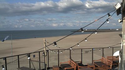
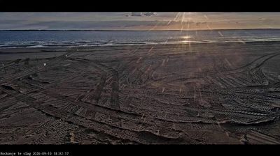
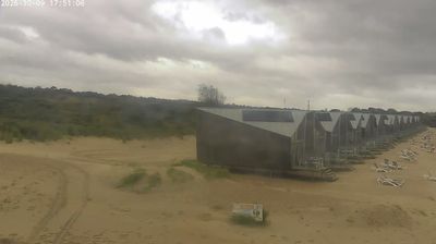
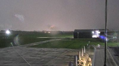



Goeree-Overflakkee lies along the Haringvliet estuary, a low-lying South Holland island shaped by dikes, polders and the North Sea coast. The municipality extends from the broad beaches and dunes around Ouddorp to the waters near Stellendam, while the Grevelingenmeer marks its southern edge. Middelharnis, its principal town, retains a historic harbourfront that reflects the island’s maritime and farming traditions. The North Sea flood of 1953 left a deep mark here; the Haringvlietdam, part of the Delta Works, became one of the major defences built in its aftermath. Trace how Goeree-Overflakkee connects with the waters of South Holland and Zeeland by browsing webcams nearby.
1 webcam
South Holland occupies a low-lying coastal belt in the western Netherlands. Its densely settled terrain is organised around the Rhine–Meuse delta, with the Nieuwe Maas running through Rotterdam before reaching the North Sea. Rotterdam, home to Europe’s largest port, gives the province an unmistakably international, industrial character; the Erasmus Bridge has become one of its defining modern landmarks. Beyond the city, polders, canals and long North Sea beaches shape places such as Delft, The Hague and the coastal resorts. Explore additional webcams nearby to see how South Holland connects with the Dutch delta and coast.
22 webcams
Among the countries of northwestern Europe, the Netherlands stands out for its carefully managed lowlands in the Rhine–Meuse–Scheldt delta. Much of the country lies low in relation to the sea, and dikes, dunes, pumps and polders are integral to its everyday geography. The North Sea coast ranges from broad beaches to the Wadden Sea, a tidal area shared with Germany and Denmark. Amsterdam’s 17th-century canal ring recalls an era when Dutch trade connected the republic with ports around the world. Beyond the capital, bicycles, dairy farming, bulb fields and compact historic cities give the country a distinct rhythm. Rotterdam’s port and the Delta Works show how maritime commerce and water engineering remain central. View additional webcams nearby to better understand how the Rhine–Meuse–Scheldt delta relates to its North Sea surroundings.
132 webcams