 Middelburg: Vliegveld Midden Zeeland
Vliegveld Midden-Zeeland lies along the Veerse Meer in Zeeland, and its waterside position has made it a compact base for light aviation on the flat polders east of Middelburg. Near Arnemuiden, the airfield brings together powered flying and gliding; grass operating areas, hangars and small aircraft give it an informal, working character. To the north, the Veerse Meer is the sheltered lake created when the former sea inlet was closed by the Veerse Gatdam in 1961, during the Delta Works era. Middelburg, Zeeland’s provincial capital, developed into an important Dutch East India Company centre in the seventeenth century, linking this quiet airfield to one of the Netherlands’ historic maritime regions.
Generated by AI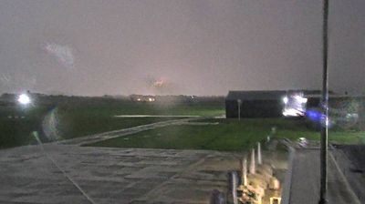
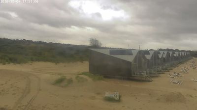
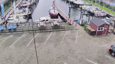
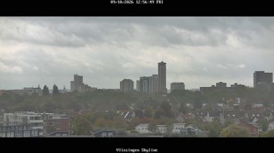
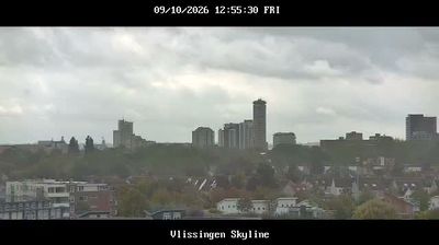
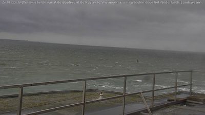
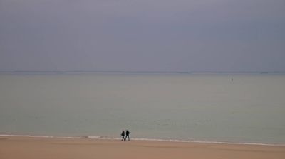

Middelburg has served as a trading centre in Zeeland since the Middle Ages. Set on the former island of Walcheren, the city is crossed by the Canal through Walcheren, linking Vlissingen with the Veerse Meer. Its prosperity peaked during the Dutch Republic, when Middelburg was an important base for the Zeeland Chamber of the Dutch East India Company. The late-Gothic Town Hall on Markt and the Lange Jan tower above the abbey complex define the historic centre. Canals, merchants’ houses and compact streets recall a city shaped by maritime commerce. Continue with other webcams from Zeeland to see how this southwestern Dutch province connects regionally.
2 webcams
Zeeland stretches from the North Sea coast to the Belgian border, encompassing low-lying islands, tidal estuaries and engineered delta country. Water defines this southwestern corner of the Netherlands: the Oosterschelde is a vast tidal inlet, while the Westerschelde remains an important shipping route to Antwerp. The Delta Works, built in response to the 1953 North Sea flood, are among the country’s most significant flood-defence projects. Middelburg, the provincial capital on Walcheren, recalls Zeeland’s maritime past through its historic centre and former Dutch East India Company connections. Continue with other webcams from the area to see how this part of the Netherlands connects across the North Sea delta.
15 webcams
Among the countries of northwestern Europe, the Netherlands stands out for its carefully managed lowlands in the Rhine–Meuse–Scheldt delta. Much of the country lies low in relation to the sea, and dikes, dunes, pumps and polders are integral to its everyday geography. The North Sea coast ranges from broad beaches to the Wadden Sea, a tidal area shared with Germany and Denmark. Amsterdam’s 17th-century canal ring recalls an era when Dutch trade connected the republic with ports around the world. Beyond the capital, bicycles, dairy farming, bulb fields and compact historic cities give the country a distinct rhythm. Rotterdam’s port and the Delta Works show how maritime commerce and water engineering remain central. View additional webcams nearby to better understand how the Rhine–Meuse–Scheldt delta relates to its North Sea surroundings.
124 webcams