 Schouwen-Duiveland: North Sea
Schouwen-Duiveland lies on the North Sea coast in Zeeland, Netherlands, where broad sandy beaches and dune belts meet the engineering works of the Rhine–Meuse–Scheldt delta. Near the island’s northern end, the Brouwersdam forms the barrier between the North Sea and the Grevelingenmeer, linking Schouwen-Duiveland with Goeree-Overflakkee. Completed in 1971 as part of the Delta Works, it reflects the national flood-protection programme created after the 1953 North Sea flood. The island also includes the historic town of Zierikzee, whose maritime past is embodied by the Sint-Lievensmonstertoren, the unfinished tower of its medieval church. Open shore, dunes and delta infrastructure give this stretch of Zeeland a distinctly maritime character.
Generated by AI
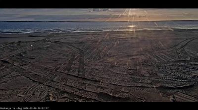
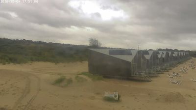


Few places in Zeeland have a history as closely tied to the 1953 North Sea flood and the Delta Works as Schouwen-Duiveland. This island municipality lies between the North Sea, the Oosterschelde estuary and the Grevelingenmeer, where dunes, dikes and water-engineering works shape the coast. The Oosterscheldekering storm-surge barrier, a defining part of the Delta Works, stands nearby. In historic Zierikzee, the harbourfront and the unfinished late-medieval Sint-Lievensmonstertoren, known as the Dikke Toren, recall the island’s long maritime past. Beaches near Renesse and the dunes of the Kop van Schouwen add another side to this exposed delta landscape. Find related webcams around the Zeeland Delta to build a fuller picture of Schouwen-Duiveland.
1 webcam
Zeeland stretches from the North Sea coast to the Belgian border, encompassing low-lying islands, tidal estuaries and engineered delta country. Water defines this southwestern corner of the Netherlands: the Oosterschelde is a vast tidal inlet, while the Westerschelde remains an important shipping route to Antwerp. The Delta Works, built in response to the 1953 North Sea flood, are among the country’s most significant flood-defence projects. Middelburg, the provincial capital on Walcheren, recalls Zeeland’s maritime past through its historic centre and former Dutch East India Company connections. Continue with other webcams from the area to see how this part of the Netherlands connects across the North Sea delta.
15 webcams
Among the countries of northwestern Europe, the Netherlands stands out for its carefully managed lowlands in the Rhine–Meuse–Scheldt delta. Much of the country lies low in relation to the sea, and dikes, dunes, pumps and polders are integral to its everyday geography. The North Sea coast ranges from broad beaches to the Wadden Sea, a tidal area shared with Germany and Denmark. Amsterdam’s 17th-century canal ring recalls an era when Dutch trade connected the republic with ports around the world. Beyond the capital, bicycles, dairy farming, bulb fields and compact historic cities give the country a distinct rhythm. Rotterdam’s port and the Delta Works show how maritime commerce and water engineering remain central. View additional webcams nearby to better understand how the Rhine–Meuse–Scheldt delta relates to its North Sea surroundings.
124 webcams