 Oldambt: Oldambtmeer
Oldambtmeer occupies a low-lying former agricultural area in Oldambt, eastern Groningen. The artificial lake, created in 2005, forms the water-centred core of Blauwestad, a residential and recreational development near Midwolda. Its broad surface is used for sailing and other watersports, while Jachthaven Midwolda provides boat berths along the shore. The surrounding region has long been shaped by drainage, dikes and large-scale arable farming. Nearby Midwolda is associated with the Ennemaborg, an 18th-century manor house set in an estate, connecting this newer waterscape with the area's older landed history.
Generated by AI

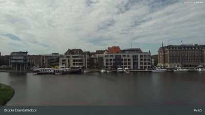

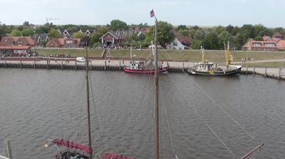

Oldambt lies in a low, open expanse of reclaimed polder land, a setting that has shaped both its settlement pattern and agricultural economy. In eastern Groningen, the municipality covers the historic Oldambt region, where broad fields and straight waterways reflect generations of drainage and land management. The Dollard estuary lies to the northeast, connecting this inland plain with the Wadden Sea coast. Oldambt was created in 2010 through the merger of the municipalities of Winschoten, Scheemda and Reiderland. Around Oldambtmeer, the Blauwestad project has introduced a recreational lake and waterside neighbourhoods to former farmland. Explore nearby webcam locations that provide complementary perspectives on eastern Groningen and the Dollard.
1 webcam
The terrain of Groningen ranges from sea-clay plains in the north to peatland and sandy ground in the southeast, creating an exceptionally open countryside shaped by water management. The province meets the Wadden Sea, whose tidal flats form part of the UNESCO-listed Wadden Sea system, while the Ems estuary marks its eastern edge. Groningen city is the regional centre, recognised by the Martinitoren, a medieval church tower that rises above its historic core. Beyond the city, old waterways, farm country and villages built on raised mounds reflect centuries of life on low-lying land. Continue through nearby webcams to explore different parts of Groningen.
5 webcams
Among the countries of northwestern Europe, the Netherlands stands out for its carefully managed lowlands in the Rhine–Meuse–Scheldt delta. Much of the country lies low in relation to the sea, and dikes, dunes, pumps and polders are integral to its everyday geography. The North Sea coast ranges from broad beaches to the Wadden Sea, a tidal area shared with Germany and Denmark. Amsterdam’s 17th-century canal ring recalls an era when Dutch trade connected the republic with ports around the world. Beyond the capital, bicycles, dairy farming, bulb fields and compact historic cities give the country a distinct rhythm. Rotterdam’s port and the Delta Works show how maritime commerce and water engineering remain central. View additional webcams nearby to better understand how the Rhine–Meuse–Scheldt delta relates to its North Sea surroundings.
132 webcams