Oldambt
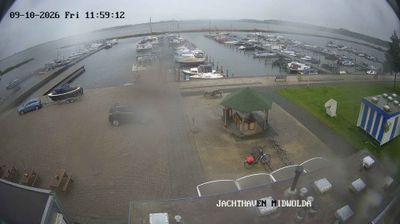
Oldambt lies in a low, open expanse of reclaimed polder land, a setting that has shaped both its settlement pattern and agricultural economy. In eastern Groningen, the municipality covers the historic Oldambt region, where broad fields and straight waterways reflect generations of drainage and land management. The Dollard estuary lies to the northeast, connecting this inland plain with the Wadden Sea coast. Oldambt was created in 2010 through the merger of the municipalities of Winschoten, Scheemda and Reiderland. Around Oldambtmeer, the Blauwestad project has introduced a recreational lake and waterside neighbourhoods to former farmland. Explore nearby webcam locations that provide complementary perspectives on eastern Groningen and the Dollard. Generated by AI


Featured webcams
Popular webcams
Recently added webcams
Explore other webcams in Oldambt