 Midden-Drenthe
The Drents Plateau defines the setting of Midden-Drenthe — sandy ground, woodland, heath and farmland lend this central part of Drenthe a more varied texture than the low, reclaimed polders of the western Netherlands. The municipality includes Orvelte, an open-air heritage village where historic farmhouses and traditional rural crafts evoke older Drenthe life. Near Hooghalen is the former Camp Westerbork, founded in 1939 as a refuge for Jewish refugees and later used by the Nazi occupiers as a transit camp; its memorial centre addresses one of the Netherlands’ most painful wartime histories. Small settlements and estate landscapes link the open fields, while the Hondsrug ridge rises along the municipality’s eastern side.
Generated by AI
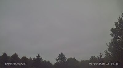
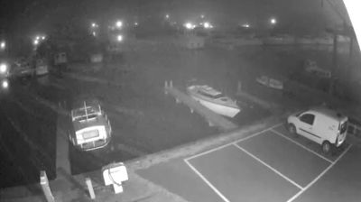
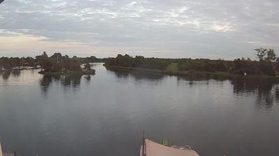
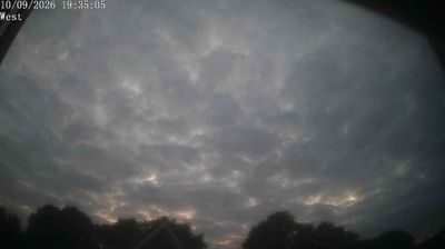


Midden-Drenthe is best known within Drenthe for the former Westerbork transit camp at Hooghalen, now commemorated by the Camp Westerbork Memorial. Set on the sandy uplands of the central province, this municipality brings together small settlements, farmland and heathland characteristic of inland Drenthe. The camp began in 1939 as a refuge for Jewish people fleeing persecution; under Nazi occupation it became a deportation transit camp, a history documented at the memorial site. Near Hooghalen, the Westerbork Synthesis Radio Telescope marks another side of the area’s twentieth-century story, linking the quiet rural setting to Dutch radio astronomy. See how Midden-Drenthe fits within Drenthe by browsing webcams nearby.
2 webcams
Among the regions of the Netherlands, Drenthe stands out for its heathlands, sandy soils and exceptional concentration of prehistoric hunebedden. Set in the country’s northeast, the province is crossed by the Drentsche Aa, a stream landscape of meanders, wet grasslands and woodland that has remained unusually intact. Near Borger, the Hunebedcentrum interprets stone burial monuments built by the Funnelbeaker culture more than 5,000 years ago; many still stand in the open countryside. Assen, the provincial capital, provides an urban counterpoint and is internationally associated with motorcycle racing at TT Circuit Assen. Cycle routes and footpaths link forests, former peat areas and small settlements. See how Drenthe fits into the northern Netherlands by browsing webcams nearby.
6 webcams
Among the countries of northwestern Europe, the Netherlands stands out for its carefully managed lowlands in the Rhine–Meuse–Scheldt delta. Much of the country lies low in relation to the sea, and dikes, dunes, pumps and polders are integral to its everyday geography. The North Sea coast ranges from broad beaches to the Wadden Sea, a tidal area shared with Germany and Denmark. Amsterdam’s 17th-century canal ring recalls an era when Dutch trade connected the republic with ports around the world. Beyond the capital, bicycles, dairy farming, bulb fields and compact historic cities give the country a distinct rhythm. Rotterdam’s port and the Delta Works show how maritime commerce and water engineering remain central. View additional webcams nearby to better understand how the Rhine–Meuse–Scheldt delta relates to its North Sea surroundings.
132 webcams