 Lonan: Ramsey
The landscape around Ramsey is a low-lying coastal plain at the mouth of the Sulby River, which has shaped both the built environment and local life. On the Isle of Man’s northeast coast, the town developed around a sheltered harbour where fishing vessels, visiting craft and shore-side businesses share a compact waterfront. The river is crossed near the quays by Ramsey’s swing bridge, a practical reminder that the harbour remains closely woven into the town. Ramsey is the island’s second-largest town and a recognised point on the Isle of Man TT course, which passes through Parliament Square before continuing towards the northern and mountain sections. Its waterfront streets combine everyday port activity with the close-knit historic fabric of a Manx town.
Generated by AI
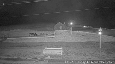
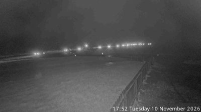
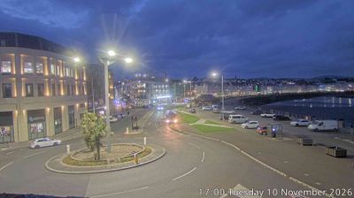
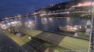

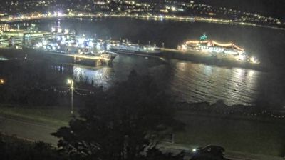
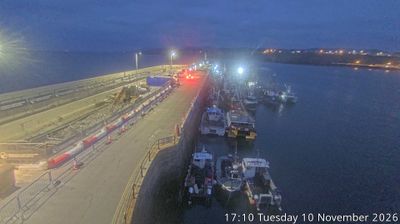

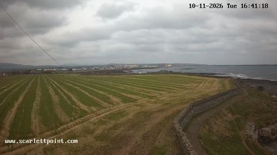

Tucked along the east coast of the Isle of Man, Lonan is a place whose character is shaped by the short descent from the island’s uplands to the Irish Sea. This parish in Garff lies between Douglas and Laxey, where farms, wooded lanes and scattered homes occupy slopes above the water. The Manx Electric Railway serves nearby Baldrine, linking the area with Douglas, Laxey and Ramsey on a route dating from the late 19th century. St Adamnan’s Church recalls Lonan’s long Christian tradition: its dedication honours the 7th-century abbot of Iona. Coastal walks and upland roads reveal a quieter side of Manx life beyond the island’s larger settlements. Browse additional webcams from the surrounding area to extend your view of Garff and the Isle of Man’s eastern coast.
1 webcam
Garff has served as an administrative district within the Isle of Man since the Middle Ages. On the island’s east coast, this area extends from the settled Laxey valley towards the headland and parish of Maughold, with the Irish Sea defining its seaward edge. Laxey is home to the Great Laxey Wheel, built in 1854 to drain the mine; it remains a powerful reminder of the island’s mining era. The Manx Electric Railway links the community with Douglas and Ramsey, while rural lanes and coastal paths lead through a quieter, largely agricultural part of Man. Its position between coast, upland and historic settlements gives Garff a distinct northeast character. Trace Garff’s place in the Isle of Man by browsing webcams nearby.
2 webcams
The Isle of Man stretches from the low-lying northern plain to the rugged southern coast, encompassing hills, farmland and Irish Sea shorelines. Set in the centre of the Irish Sea between Great Britain and Ireland, it has a distinct identity as a self-governing Crown Dependency. Snaefell, at 621 metres, is its highest summit. Coastal Peel is marked by Peel Castle, while Tynwald Hill at St John’s hosts the annual open-air ceremony of the island’s parliament, Tynwald. The Isle of Man TT brings motorcycle racing to public roads closed for the event each year. Continue through nearby webcams to explore different parts of the Isle of Man.
13 webcams