 Braddan: Douglas Marina
Built around a natural harbour at the mouth of the River Douglas, Douglas grew into the Isle of Man’s capital and principal commercial centre. The harbour connects the town centre to Douglas Bay and remains a working waterfront of marinas, quays and fishing vessels, framed by dense streets and substantial waterfront buildings. Along the bay, the long seafront promenade reflects the town’s Victorian expansion as a resort and port. Douglas is also central to the island’s public life: the House of Keys and Legislative Council meet in the Legislative Buildings, while the annual Isle of Man TT has its start and finish area on Glencrutchery Road. Its harbour concentrates the maritime side of a self-governing Crown Dependency with a distinct Manx identity.
Generated by AI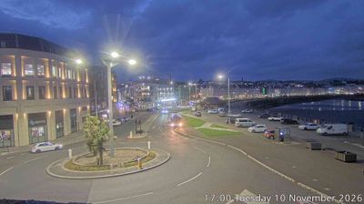
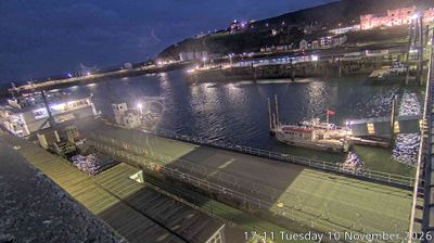
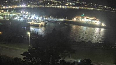
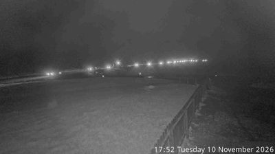

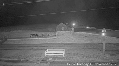

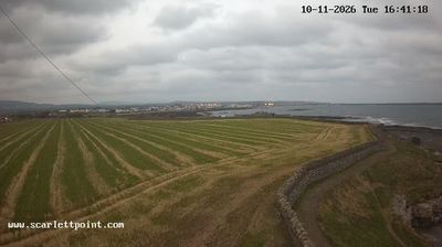
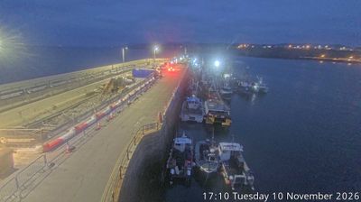

Few communities in the Isle of Man’s Middle sheading have a history as closely tied to motorcycle road racing as Braddan. The parish lies just west of Douglas, where the River Dhoo runs through a low valley below the island’s central hills. Braddan Bridge is a recognised section of the 37.73-mile Snaefell Mountain Course, used for the Isle of Man TT and Manx Grand Prix; during race periods, an ordinary local road becomes part of a defining public-road circuit. The old parish church, dedicated to St Brendan, provides a quieter focal point beyond the course. Explore nearby webcam locations that provide complementary perspectives on Braddan and the Isle of Man.
4 webcams
Middle occupies a central belt of the Isle of Man in the Irish Sea. This historic sheading includes the parishes of Braddan, Marown and Santon, linking Douglas's western edge with farmland, wooded glens and the island's upland interior. The River Dhoo runs through Braddan before joining the River Glass to form the River Douglas. Motorsport is part of the area's public identity: the Isle of Man TT course uses roads at Braddan and Crosby, familiar to spectators of the annual road races. Older parish churches and dispersed farm settlements show a quieter side of this well-connected part of the island. View additional webcams nearby to better understand how Middle relates to the Isle of Man's coast, capital and interior.
4 webcams
The Isle of Man stretches from the low-lying northern plain to the rugged southern coast, encompassing hills, farmland and Irish Sea shorelines. Set in the centre of the Irish Sea between Great Britain and Ireland, it has a distinct identity as a self-governing Crown Dependency. Snaefell, at 621 metres, is its highest summit. Coastal Peel is marked by Peel Castle, while Tynwald Hill at St John’s hosts the annual open-air ceremony of the island’s parliament, Tynwald. The Isle of Man TT brings motorcycle racing to public roads closed for the event each year. Continue through nearby webcams to explore different parts of the Isle of Man.
13 webcams