Satte
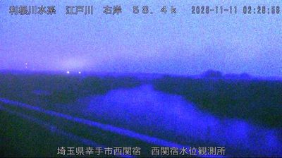
The landscape around Satte is a low, river-shaped part of the Kantō Plain, which has shaped both the city’s spread and its long connection with agriculture. The Nakagawa and other waterways of eastern Saitama place it within broad lowlands between Tokyo and Ibaraki, where embankments remain an important feature of the terrain. Satte is best known for Gongendō Park, where a long bank is lined with roughly 1,000 Somei-Yoshino cherry trees; spring also brings fields of rapeseed beside the blossom avenue. The old Nikkō Kaidō passed through Satte, recalling the road that once linked Edo with Nikkō’s shrines and temples. Continue through nearby webcams to explore different parts of eastern Saitama. Generated by AI