Linwood-Central-Heathcote Community
Linwood-Central-Heathcote Community combines Christchurch’s dense inner-east neighbourhoods with the more open slopes of the Port Hills in a way that reflects its position between the Canterbury Plains and Banks Peninsula. Its districts are shaped by the Ōtākaro Avon River and the Heathcote River, waterways that run east toward the Avon-Heathcote Estuary. The 2010 and 2011 Canterbury earthquakes profoundly changed this part of Christchurch, and rebuilding remains an important part of its urban story. Older housing, parks, schools and local shopping streets sit within a city area framed by river corridors and nearby hills. View additional webcams nearby to better understand how Linwood-Central-Heathcote Community relates to Christchurch, the estuary and the Port Hills. Generated by AI


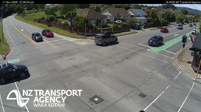
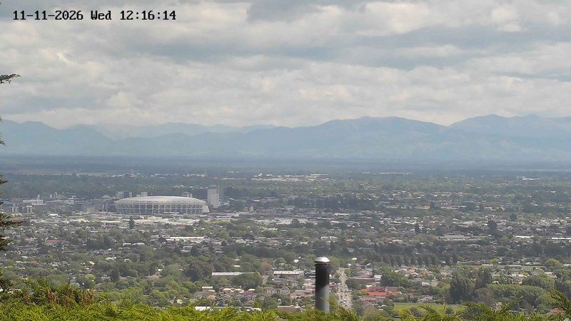

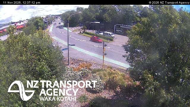
Featured webcams
Popular webcams
Recently added webcams
Explore other webcams in Linwood-Central-Heathcote Community

Linwood-Central-Heathcote Community: Taylors Mistake Beach
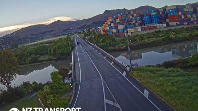
Linwood-Central-Heathcote Community: SH74 Tunnel Rd
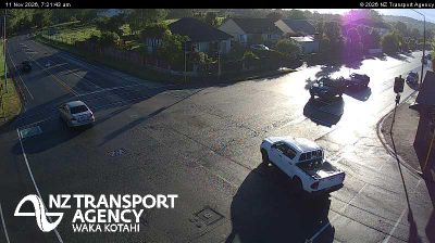
Linwood-Central-Heathcote Community: SH74A Ferry Rd
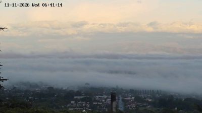
Linwood-Central-Heathcote Community

Linwood-Central-Heathcote Community: SH76 Garlands Rd
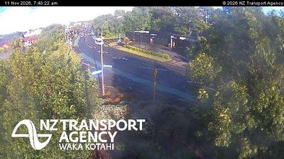
Linwood-Central-Heathcote Community: SH74A Rutherford St