Selwyn District
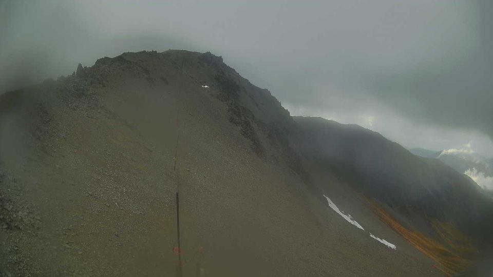
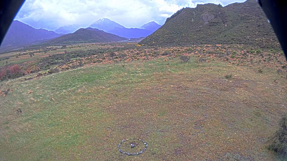
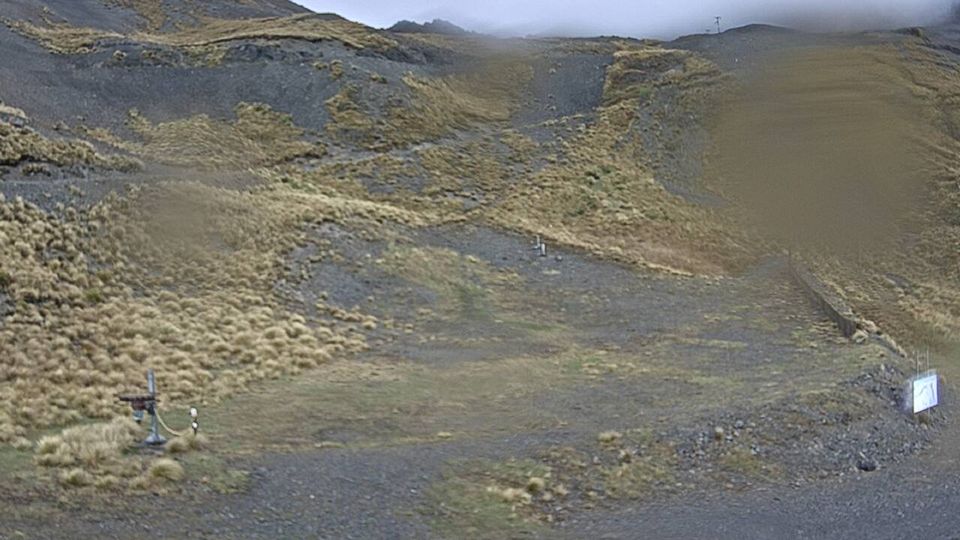
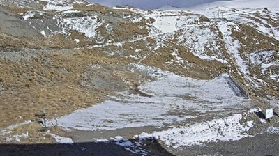
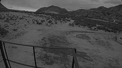
The Canterbury Plains define much of Selwyn District - their fertile, irrigated land underpins farming communities between Christchurch and the Southern Alps. Westward, the district rises into high country around Lake Coleridge and towards the Rakaia River, while the Waimakariri River marks much of its northern edge. Kura Tāwhiti, also known as Castle Hill, is a reserve of distinctive limestone outcrops with enduring cultural significance for Ngāi Tahu. Towns including Darfield and Rolleston reflect a district shaped by agriculture, alpine routes and growth on Christchurch’s western side. Continue through nearby webcams to explore different parts of Selwyn District. Generated by AI
6 webcams


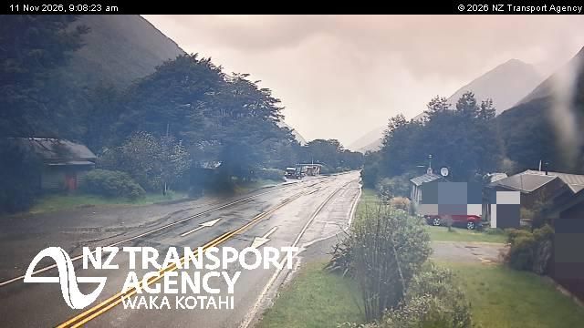
Featured webcams
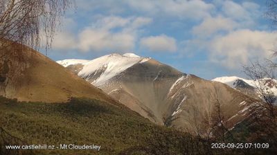
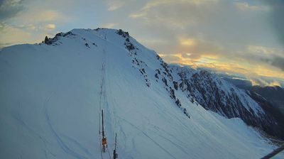
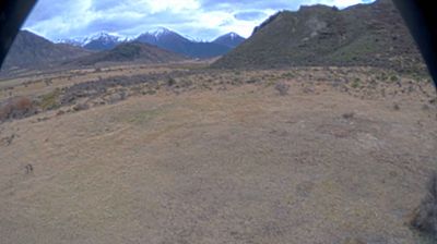
Popular webcams