Leira
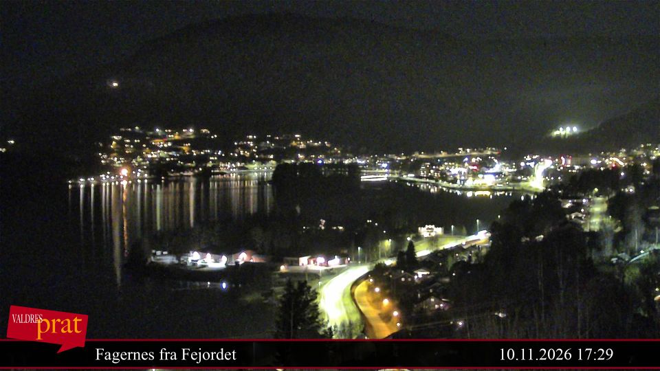
The Leira River defines the setting of Leira — it reaches Strandefjorden beside a settlement shaped by the E16 road corridor through Valdres. Leira lies in Nord-Aurdal municipality, east of Fagernes, where farmland and wooded hills lead away from the lake shore towards Norway’s inland highlands. The former Valdres Line railway also passed through Leira on its route between Eina and Fagernes; regular passenger services ended in 1989. Today, the locality is a practical stop within Valdres, connecting road travel, local services and a rural district long associated with the lake and valley. Browse other webcams across Valdres and Innlandet to place this setting in a wider geographic context. Generated by AI
2 webcams


Featured webcams
Popular webcams
Recently added webcams
Explore other webcams in Leira