Nordre Land
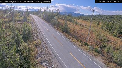
The terrain of Nordre Land ranges from the low-lying delta where the Dokka and Etna rivers meet Randsfjorden in the south to forested uplands and the Synnfjell mountains in the north, creating a marked shift from lake country to higher ground. Dokka, the municipality’s administrative centre, stands near the rivers’ outlet into Randsfjorden, one of Norway’s largest lakes. Woodland, farms and scattered settlements define much of this inland part of Innlandet, where roads follow valleys before climbing towards the mountain areas. The Lands Museum in Dokka documents the local traditions and everyday history of the Land district. Browse additional webcams from the surrounding area to extend your view of Nordre Land. Generated by AI
1 webcam


Featured webcams
Popular webcams
Recently added webcams