South Slave Region
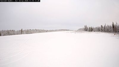
South Slave Region extends from the southern shores of Great Slave Lake to the Alberta border, encompassing boreal forest, broad wetlands and lake-dotted lowlands. The Slave River runs north through the region toward Great Slave Lake, linking Fort Smith and Fort Resolution with a major northern waterway. Hay River, on the lake’s southern shore, is an important regional service centre, while smaller Dene and Métis communities reflect enduring Indigenous connections to this territory. Wood Buffalo National Park reaches into the region near Fort Smith; it is a UNESCO World Heritage Site known for its immense northern plains and wetlands. Continue through nearby webcams to explore different parts of the South Slave Region. Generated by AI
1 webcam


Featured webcams
Popular webcams
Recently added webcams