San Bernardino County
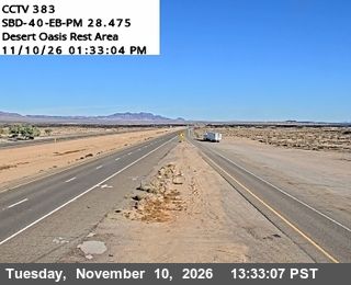
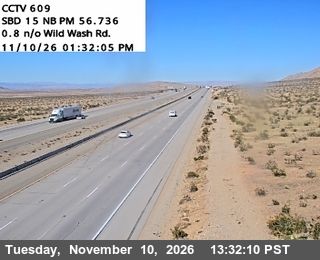
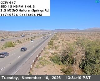
Shaped by the Mojave Desert and inland routes across Southern California, San Bernardino County grew into one of the United States’ largest counties by area. Its eastern reaches are defined by broad basins, dry washes and volcanic hills, while the San Bernardino Mountains rise far to the west. The intermittent Mojave River crosses the county before ending in the desert near Soda Dry Lake. Much of Mojave National Preserve lies within its borders, protecting a wide stretch of high desert. Historic Route 66 also crossed the county toward the Colorado River, linking places such as Barstow and Needles. Browse additional webcams from the surrounding desert to extend your view of San Bernardino County. Generated by AI
4 webcams

Featured webcams

Popular webcams