Saarland
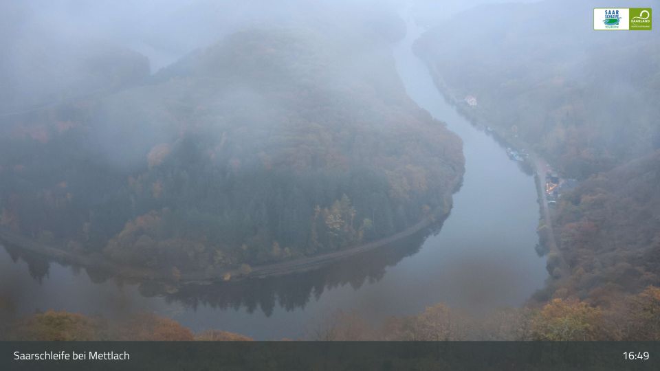
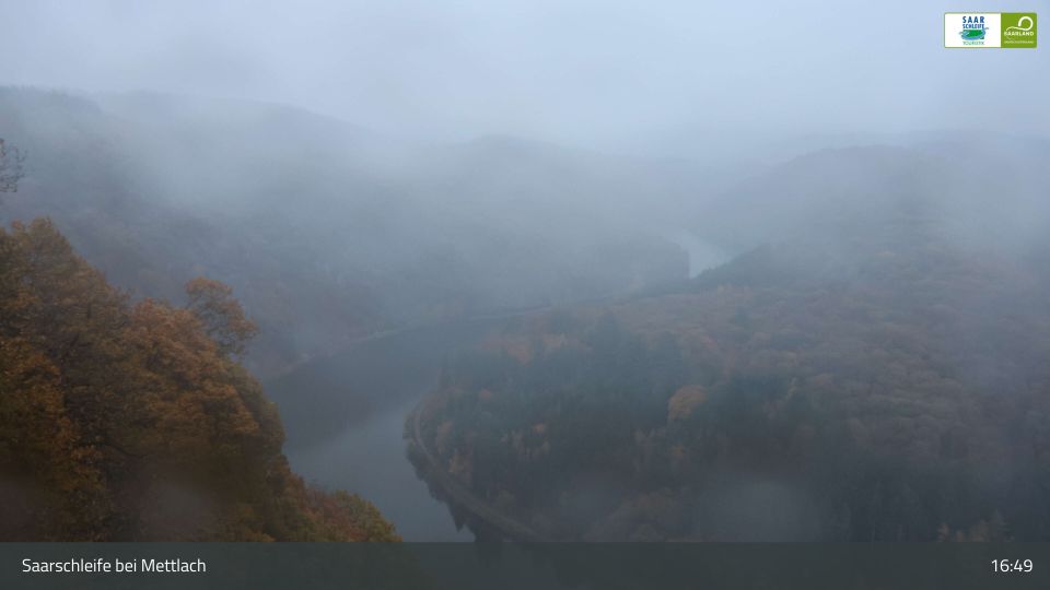
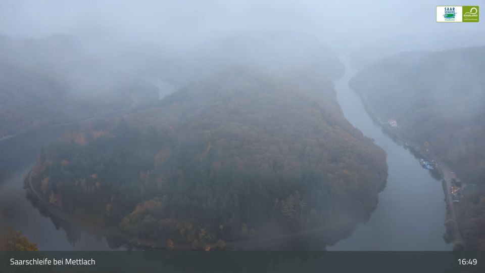
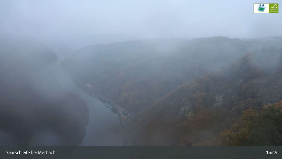
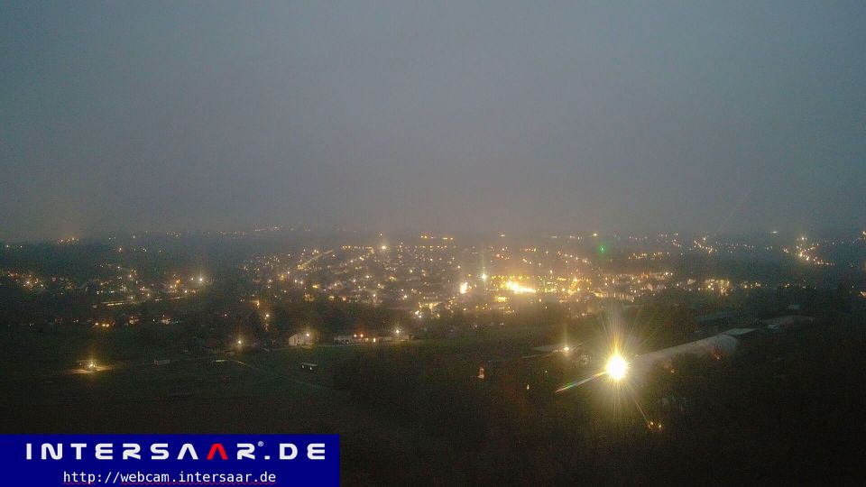
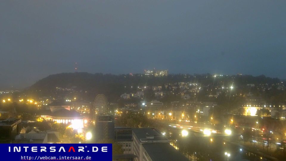
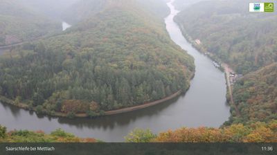
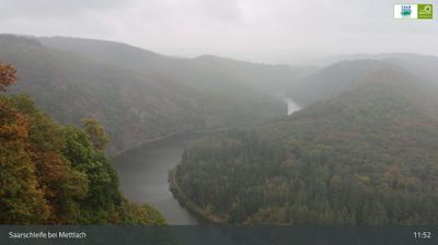
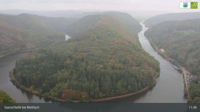
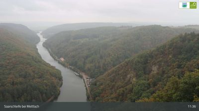
The terrain of Saarland ranges from wooded uplands in its northern districts to broader river valleys along the Saar in the south, giving this small German state a compact, rolling character. The Saar is the region’s defining waterway, passing through Saarbrücken before meeting the Moselle at Konz. Saarbrücken developed around coal mining and ironmaking, industries that shaped much of Saarland’s modern identity. In Völklingen, the former ironworks is a UNESCO World Heritage Site and a major record of that industrial era. Near Mettlach, the Saar forms its celebrated tight bend, the Saarschleife. Borders with France and Luxembourg reinforce Saarland’s cross-border outlook. View additional webcams nearby to better understand how Saarland relates to its surroundings. Generated by AI







Featured webcams
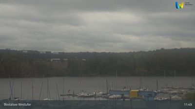
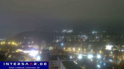






Popular webcams
Recently added webcams
Explore cities and regions of Saarland
Saarland
22 webcams 14 cities