Regional District of East Kootenay
The Regional District of East Kootenay stretches from the Rocky Mountains along Alberta’s border to the Purcell Mountains west of the Columbia Valley, encompassing broad river valleys, rugged peaks, and forested interior ranges. The Columbia and Kootenay river systems shape much of the area, and Columbia Lake near Canal Flats marks the source of the Columbia River. This is the traditional territory of the Ktunaxa Nation, while Fort Steele Heritage Town near Cranbrook interprets the region’s late-19th-century settlement era. Fernie and Sparwood reflect the long importance of coal mining in the Elk Valley. Place East Kootenay in its southeastern British Columbia setting by browsing webcams nearby. Generated by AI
3 webcams
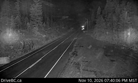


Featured webcams
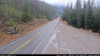


Popular webcams